Elkhart night lights from space
Night Light of Elkhart (Indiana) from space (United States) Src. Average luminocity for 10x10km area is 79.9123% and for 50x50km: 23.2435%.
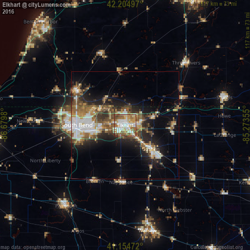
Analysis of Elkhart night lights 2016
Square area 10x10 km:
 20.78%
90-99
20.45%80-89
14.45%70-79
12.5%60-69
11.69%50-59
13.8%40-49
5.36%30-39
0.97%20-29
0%10-19
0%0-9
0%Square area 50x50 km:
4.01%90-99
3.85%80-89
2.46%70-79
2.87%60-69
3.26%50-59
4.07%40-49
4.08%30-39
3.22%20-29
5.87%10-19
9.84%0-9
56.48%Clear (daylight) street map image can be seen on geolist.org.
Map coordinates:
42° 12' 17.9" North, 86° 40' 47.3" West
41° 40' 55.2" North, 85° 58' 36" West
41° 9' 17" North, 85° 16' 24.8" West
Some cities around Elkhart sort by population:
• South Bend
22.7 km =14.1 mi,  270°
270°
• Mishawaka
15.3 km =9.5 mi,  261°
261°
• Goshen
16.2 km =10.1 mi,  133°
133°
• Granger
13.7 km =8.5 mi,  305°
305°
• Niles
28.3 km =17.6 mi, 305°
• Nappanee
26.7 km =16.6 mi,  184°
184°
• Dunlap
6.7 km =4.2 mi,  137°
137°
• Notre Dame
21.8 km =13.5 mi,  275°
275°
4919987 (p: 52,348)
Sources (retrieved 2019-11-25):
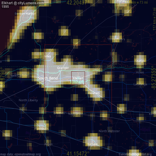
» NASA, Earths city lights 1995
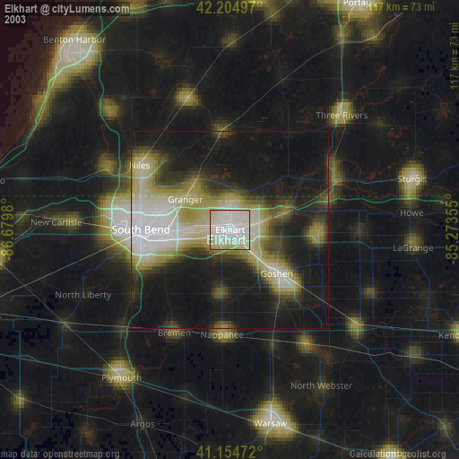
» NASA city lights 2003
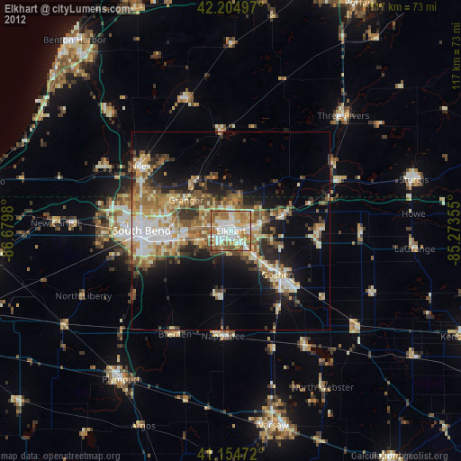
» Earth at Night: Flat Maps 2012, 2016