East Ridge night lights from space
Night Light of East Ridge (Tennessee) from space (United States) Src. Average luminocity for 10x10km area is 94.0455% and for 50x50km: 32.7782%.
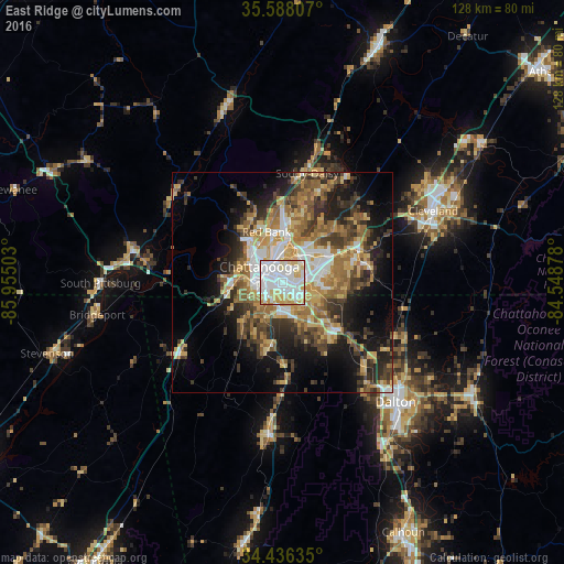
Analysis of East Ridge night lights 2016
Square area 10x10 km:
 47.03%
90-99
27.62%80-89
13.46%70-79
11.19%60-69
0.7%50-59
0%40-49
0%30-39
0%20-29
0%10-19
0%0-9
0%Square area 50x50 km:
5.09%90-99
4.5%80-89
5.13%70-79
5.36%60-69
6.03%50-59
4.85%40-49
4.5%30-39
6.64%20-29
7.04%10-19
11.31%0-9
39.55%Clear (daylight) street map image can be seen on geolist.org.
Map coordinates:
35° 35' 17.1" North, 85° 57' 18.1" West
35° 0' 51.3" North, 85° 15' 6.8" West
34° 26' 10.9" North, 84° 32' 55.6" West
Some cities around East Ridge sort by population:
• Chattanooga
6.3 km =3.9 mi,  303°
303°
• Middle Valley
21.1 km =13.1 mi,  16°
16°
• Red Bank
11.6 km =7.2 mi,  340°
340°
• Collegedale
18.9 km =11.7 mi,  76°
76°
• Fort Oglethorpe
7.3 km =4.5 mi,  183°
183°
• Signal Mountain
14.7 km =9.1 mi,  325°
325°
• Harrison
15.2 km =9.4 mi,  43°
43°
• Fairview
8.2 km =5.1 mi,  201°
201°
4620131 (p: 20,979)
Sources (retrieved 2019-11-25):
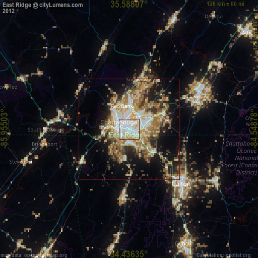
» Earth at Night: Flat Maps 2012, 2016