East Chattanooga night lights from space
Night Light of East Chattanooga (Tennessee) from space (United States) Src. Average luminocity for 10x10km area is 90.7657% and for 50x50km: 32.3417%.
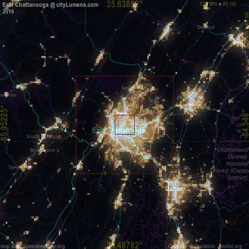
Analysis of East Chattanooga night lights 2016
Square area 10x10 km:
 37.06%
90-99
24.3%80-89
16.43%70-79
18.88%60-69
2.97%50-59
0%40-49
0.35%30-39
0%20-29
0%10-19
0%0-9
0%Square area 50x50 km:
5.01%90-99
4.42%80-89
5.02%70-79
5.47%60-69
5.9%50-59
4.87%40-49
4.34%30-39
6.43%20-29
6.8%10-19
12.01%0-9
39.74%Clear (daylight) street map image can be seen on geolist.org.
Map coordinates:
35° 38' 19.8" North, 85° 57' 8.1" West
35° 3' 55.3" North, 85° 14' 56.8" West
34° 29' 16.2" North, 84° 32' 45.6" West
Some cities around East Chattanooga sort by population:
• Chattanooga
5.9 km =3.7 mi,  248°
248°
• Middle Valley
15.7 km =9.8 mi,  21°
21°
• Red Bank
6.6 km =4.1 mi,  321°
321°
• Collegedale
18.2 km =11.3 mi,  94°
94°
• Fort Oglethorpe
13 km =8.1 mi,  183°
183°
• Signal Mountain
10.7 km =6.6 mi,  306°
306°
• Harrison
11.4 km =7.1 mi,  62°
62°
• Fairview
13.7 km =8.5 mi,  193°
193°
4619947 (p: 154,024)
Sources (retrieved 2019-11-25):
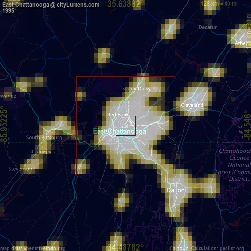
» NASA, Earths city lights 1995
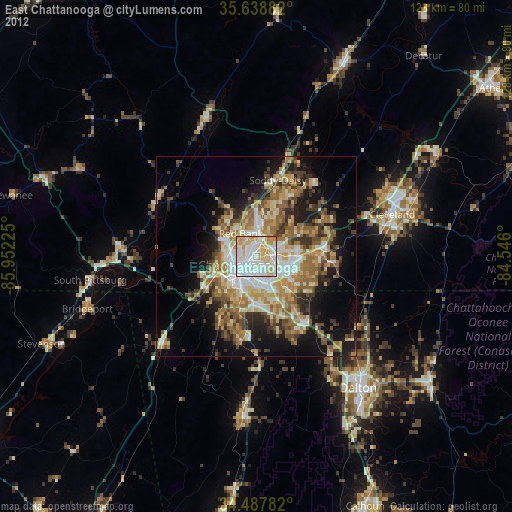
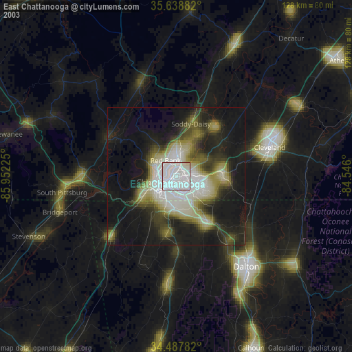
» NASA city lights 2003
» Earth at Night: Flat Maps 2012, 2016