Crestview night lights from space
Night Light of Crestview (Florida) from space (United States) Src. Average luminocity for 10x10km area is 52.8829% and for 50x50km: 5.3799%.
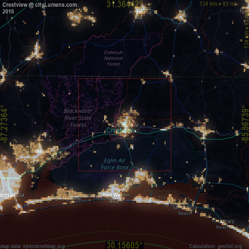
Analysis of Crestview night lights 2016
Square area 10x10 km:
 5.59%
5.59%90-99
4.9%80-89
8.04%70-79
8.74%60-69
21.5%50-59
6.99%40-49
7.17%30-39
7.52%20-29
15.56%10-19
13.81%0-9
0.17%Square area 50x50 km:
0.32%90-99
0.33%80-89
0.49%70-79
0.82%60-69
1.49%50-59
0.72%40-49
1.07%30-39
0.96%20-29
1.32%10-19
4.34%0-9
88.15%Clear (daylight) street map image can be seen on geolist.org.
Map coordinates:
31° 21' 51.9" North, 87° 16' 25.1" West
30° 45' 43.7" North, 86° 34' 13.8" West
30° 9' 21.8" North, 85° 52' 2.6" West
Some cities around Crestview sort by population:
• Wright
34.7 km =21.6 mi,  190°
190°
• Fort Walton Beach
38.2 km =23.7 mi, 186°
• Niceville
28.6 km =17.8 mi,  162°
162°
• Destin
41.6 km =25.8 mi,  170°
170°
• Lake Lorraine
35.6 km =22.1 mi,  179°
179°
• Eglin Village
33.4 km =20.8 mi, 174°
• Ocean City
35.9 km =22.3 mi, 186°
• Valparaiso
28.9 km =18 mi, 167°
4152311 (p: 23,270)
Sources (retrieved 2019-11-25):
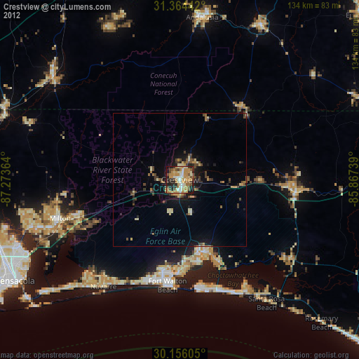
» Earth at Night: Flat Maps 2012, 2016