Cranberry Township night lights from space
Night Light of Cranberry Township (Pennsylvania) from space (United States) Src. Average luminocity for 10x10km area is 62.0487% and for 50x50km: 34.7448%.
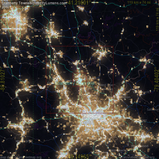
Analysis of Cranberry Township night lights 2016
Square area 10x10 km:
 10.23%
90-99
13.15%80-89
7.31%70-79
7.14%60-69
9.58%50-59
16.88%40-49
17.05%30-39
4.06%20-29
11.04%10-19
3.57%0-9
0%Square area 50x50 km:
3.93%90-99
5%80-89
4%70-79
4.36%60-69
6.29%50-59
8.39%40-49
7.87%30-39
5.59%20-29
9.09%10-19
15.32%0-9
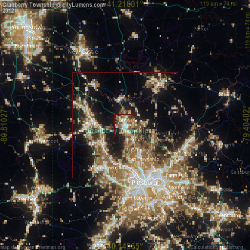
30.15%Clear (daylight) street map image can be seen on geolist.org.
Map coordinates:
41° 12' 57.6" North, 80° 48' 37" West
40° 41' 5.9" North, 80° 6' 25.7" West
40° 8' 58.7" North, 79° 24' 14.5" West
Some cities around Cranberry Township sort by population:
• Allison Park
18.8 km =11.7 mi,  138°
138°
• Franklin Park
11.4 km =7.1 mi,  171°
171°
• Fernway
2.3 km =1.4 mi,  298°
298°
• Economy
13.7 km =8.5 mi,  226°
226°
• Aliquippa
12.4 km =7.7 mi,  244°
244°
• Ambridge
14.6 km =9.1 mi,  223°
223°
• New Brighton
17.8 km =11.1 mi,  286°
286°
• Monaca
13.9 km =8.6 mi,  271°
271°
8643098 (p: 28,098)
Sources (retrieved 2019-11-25):
» Earth at Night: Flat Maps 2012, 2016