Hough night lights from space
Night Light of Hough (Ohio) from space (United States) Src. Average luminocity for 10x10km area is 89.0119% and for 50x50km: 50.6588%.
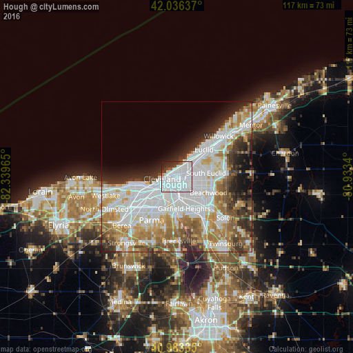
Analysis of Hough night lights 2016
Square area 10x10 km:
 70.07%
90-99
12.93%80-89
0%70-79
0.68%60-69
0.51%50-59
1.53%40-49
2.72%30-39
5.95%20-29
4.59%10-19
1.02%0-9
0%Square area 50x50 km:
18.14%90-99
12.07%80-89
4.57%70-79
5.26%60-69
7.14%50-59
4.59%40-49
4.18%30-39
4.7%20-29
5.85%10-19
5.57%0-9
27.92%Clear (daylight) street map image can be seen on geolist.org.
Map coordinates:
42° 2' 10.9" North, 82° 20' 22.7" West
41° 30' 43.2" North, 81° 38' 11.5" West
40° 59' 0.1" North, 80° 56' 0.2" West
Some cities around Hough sort by population:
• Cleveland
5.1 km =3.2 mi,  254°
254°
• Cleveland Heights
6.7 km =4.2 mi,  82°
82°
• Collinwood
7.6 km =4.7 mi,  47°
47°
• Glenville
2.9 km =1.8 mi,  33°
33°
• Clark-Fulton
8.1 km =5 mi,  228°
228°
• Detroit-Shoreway
8.7 km =5.4 mi,  243°
243°
• East Cleveland
5.3 km =3.3 mi,  63°
63°
• University Heights
8.4 km =5.2 mi,  100°
100°
5158067 (p: 16,359)
Sources (retrieved 2019-11-25):
» Earth at Night: Flat Maps 2012, 2016