Cherry Hill night lights from space
Night Light of Cherry Hill (New Jersey) from space (United States) Src. Average luminocity for 10x10km area is 95.8231% and for 50x50km: 74.2721%.
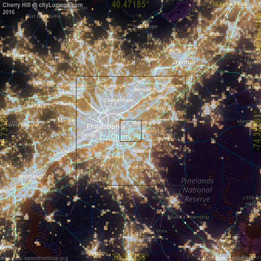

Analysis of Cherry Hill night lights 2016
Square area 10x10 km:
 38.27%
90-99
45.07%80-89
13.78%70-79
2.89%60-69
0%50-59
0%40-49
0%30-39
0%20-29
0%10-19
0%0-9
0%Square area 50x50 km:
24%90-99
17.14%80-89
10.7%70-79
13.13%60-69
10.42%50-59
5.78%40-49
5.06%30-39
3.96%20-29
2.96%10-19
3.1%0-9
3.76%Clear (daylight) street map image can be seen on geolist.org.
Map coordinates:
40° 28' 18.7" North, 75° 44' 1.9" West
39° 56' 5.4" North, 75° 1' 50.6" West
39° 23' 36.9" North, 74° 19' 39.4" West
Some cities around Cherry Hill sort by population:
• Pennsauken
3.3 km =2.1 mi,  315°
315°
• Maple Shade
3.8 km =2.4 mi,  58°
58°
• Springdale
6.6 km =4.1 mi,  123°
123°
• Moorestown-Lenola
6.6 km =4.1 mi, 58°
• Collingswood
3.9 km =2.4 mi,  241°
241°
• Haddonfield
4.9 km =3 mi,  187°
187°
• Audubon
6.1 km =3.8 mi,  216°
216°
• Kingston Estates
3.9 km =2.4 mi,  108°
108°
4501198 (p: 70,475)
Sources (retrieved 2019-11-25):
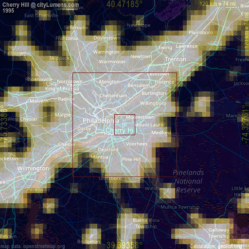
» NASA, Earths city lights 1995
» NASA city lights 2003
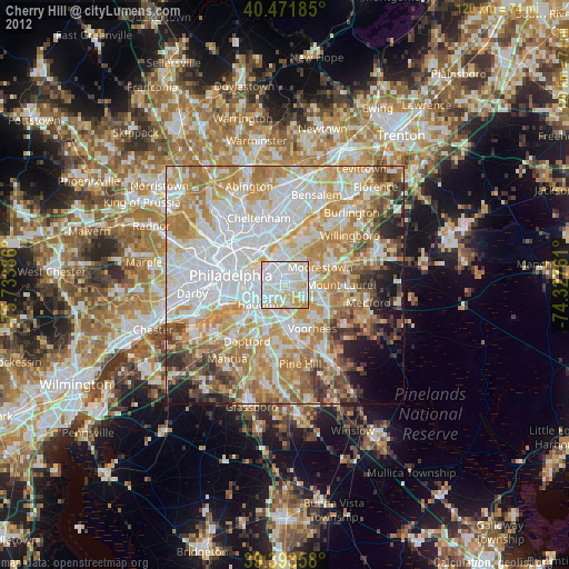
» Earth at Night: Flat Maps 2012, 2016