San Benito night lights from space
Night Light of San Benito (Texas) from space (United States) Src. Average luminocity for 10x10km area is 62.7123% and for 50x50km: 28.0124%.
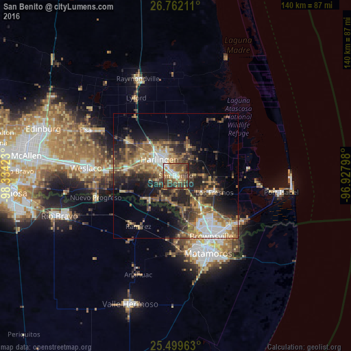
Analysis of San Benito night lights 2016
Square area 10x10 km:
 9.92%
9.92%90-99
8.53%80-89
7.74%70-79
12.7%60-69
10.52%50-59
16.27%40-49
19.25%30-39
10.12%20-29
4.96%10-19
0%0-9
0%Square area 50x50 km:
3.53%90-99
3.04%80-89
3.95%70-79
3.73%60-69
5.19%50-59
5.65%40-49
5.83%30-39
5.69%20-29
8.46%10-19
10.76%0-9
44.17%Clear (daylight) street map image can be seen on geolist.org.
Map coordinates:
26° 45' 43.6" North, 98° 20' 3.2" West
26° 7' 57.3" North, 97° 37' 52" West
25° 29' 58.7" North, 96° 55' 40.7" West
Some cities around San Benito sort by population:
• Heroica Matamoros, MX
30.8 km =19.1 mi,  155°
155°
• Brownsville
28.9 km =18 mi,  152°
152°
• Harlingen
9.2 km =5.7 mi,  314°
314°
• Mercedes
28.3 km =17.6 mi,  273°
273°
• La Feria
19.5 km =12.1 mi,  278°
278°
• Cameron Park
24.2 km =15 mi,  140°
140°
• Cameron Park Colonia
23.5 km =14.6 mi, 139°
• Los Fresnos
16.9 km =10.5 mi,  113°
113°
4726290 (p: 24,496)
Sources (retrieved 2019-11-25):
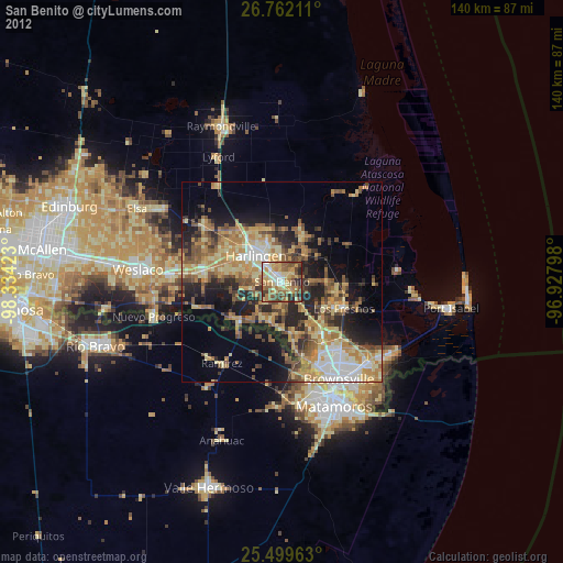
» Earth at Night: Flat Maps 2012, 2016