Brockport night lights from space
Night Light of Brockport (New York) from space (United States) Src. Average luminocity for 10x10km area is 17.6515% and for 50x50km: 13.2361%.
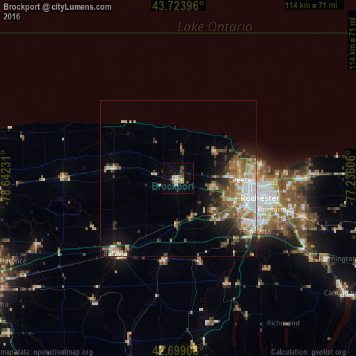
Analysis of Brockport night lights 2016
Square area 10x10 km:
 1.82%
1.82%90-99
3.03%80-89
3.03%70-79
1.36%60-69
1.06%50-59
2.42%40-49
2.58%30-39
1.06%20-29
3.94%10-19
11.82%0-9
67.88%Square area 50x50 km:
2.52%90-99
1.86%80-89
1.56%70-79
1.63%60-69
1.99%50-59
2.59%40-49
1.91%30-39
1.66%20-29
2.6%10-19
5.21%0-9
76.48%Clear (daylight) street map image can be seen on geolist.org.
Map coordinates:
43° 43' 26.3" North, 78° 38' 32.3" West
43° 12' 49.2" North, 77° 56' 21" West
42° 41' 56.7" North, 77° 14' 9.8" West
Some cities around Brockport sort by population:
• Rochester
27 km =16.8 mi,  104°
104°
• Irondequoit
29.1 km =18.1 mi,  90°
90°
• Gates-North Gates
20.1 km =12.5 mi,  105°
105°
• Greece
19.9 km =12.4 mi, 91°
• North Gates
19.7 km =12.2 mi, 102°
• Albion
20.9 km =13 mi,  280°
280°
• Hilton
14.4 km =8.9 mi,  54°
54°
• Hamlin
10.1 km =6.3 mi,  8°
8°
5110227 (p: 8,357)
Sources (retrieved 2019-11-25):
» Earth at Night: Flat Maps 2012, 2016