Brighton night lights from space
Night Light of Brighton (New York) from space (United States) Src. Average luminocity for 10x10km area is 83.2121% and for 50x50km: 25.1437%.
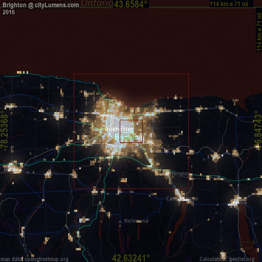
Analysis of Brighton night lights 2016
Square area 10x10 km:
 28.79%
90-99
25.91%80-89
7.12%70-79
6.82%60-69
13.48%50-59
15.3%40-49
2.42%30-39
0.15%20-29
0%10-19
0%0-9
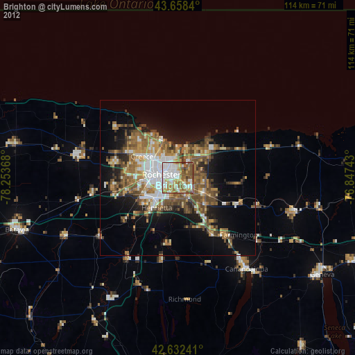
0%Square area 50x50 km:
4.74%90-99
3.73%80-89
2.26%70-79
2.73%60-69
3.89%50-59
6.04%40-49
4.94%30-39
3.36%20-29
4.59%10-19
10.37%0-9
53.34%Clear (daylight) street map image can be seen on geolist.org.
Map coordinates:
43° 39' 30.2" North, 78° 15' 13.2" West
43° 8' 51.2" North, 77° 33' 2" West
42° 37' 56.7" North, 76° 50' 50.7" West
Some cities around Brighton sort by population:
• Rochester
5.3 km =3.3 mi,  278°
278°
• Irondequoit
7.7 km =4.8 mi,  342°
342°
• Gates-North Gates
12.3 km =7.6 mi, 279°
• Greece
13.5 km =8.4 mi,  300°
300°
• North Gates
12.6 km =7.8 mi, 284°
• East Rochester
6.7 km =4.2 mi,  130°
130°
• Webster
12.1 km =7.5 mi,  53°
53°
• Fairport
10.4 km =6.5 mi,  121°
121°
5110159 (p: 36,609)
Sources (retrieved 2019-11-25):
» Earth at Night: Flat Maps 2012, 2016