Bridgewater night lights from space
Night Light of Bridgewater (New Jersey) from space (United States) Src. Average luminocity for 10x10km area is 59.1542% and for 50x50km: 39.8204%.
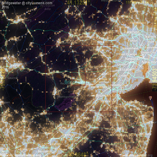
Analysis of Bridgewater night lights 2016
Square area 10x10 km:
 8.77%
8.77%90-99
11.53%80-89
6.17%70-79
8.93%60-69
8.12%50-59
15.58%40-49
14.77%30-39
11.04%20-29
9.74%10-19
5.36%0-9
0%Square area 50x50 km:
5.69%90-99
7.09%80-89
4.76%70-79
7.22%60-69
8.09%50-59
7.16%40-49
5.74%30-39
5.61%20-29
6.72%10-19
11.63%0-9
30.29%Clear (daylight) street map image can be seen on geolist.org.
Map coordinates:
41° 7' 57" North, 75° 21' 4.6" West
40° 36' 2.8" North, 74° 38' 53.3" West
40° 3' 53.3" North, 73° 56' 42.1" West
Some cities around Bridgewater sort by population:
• Bradley Gardens
4.3 km =2.7 mi,  187°
187°
• Somerville
4.4 km =2.7 mi,  132°
132°
• Martinsville
7.5 km =4.7 mi,  89°
89°
• Manville
8.4 km =5.2 mi,  142°
142°
• Bedminster
8.9 km =5.5 mi,  1°
1°
• Raritan
3.7 km =2.3 mi,  159°
159°
• Green Knoll
3 km =1.9 mi, 91°
• Finderne
7.3 km =4.5 mi, 125°
8299576 (p: 44,464)
Sources (retrieved 2019-11-25):
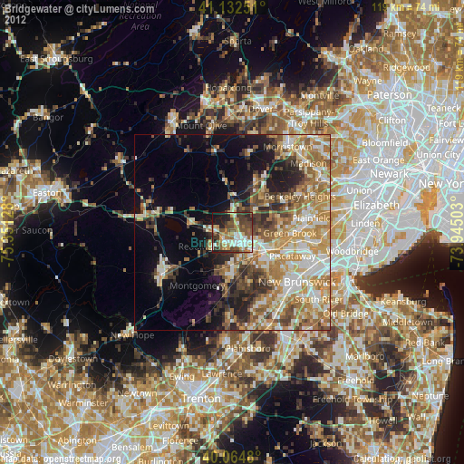
» Earth at Night: Flat Maps 2012, 2016