Bloomingdale night lights from space
Night Light of Bloomingdale (New Jersey) from space (United States) Src. Average luminocity for 10x10km area is 45.0289% and for 50x50km: 44.9242%.
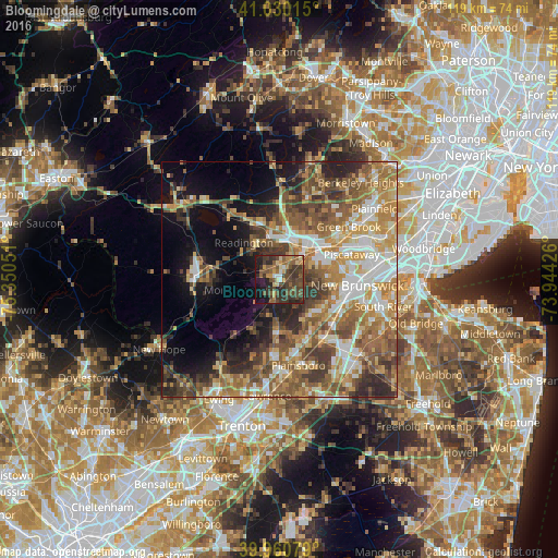
Analysis of Bloomingdale night lights 2016
Square area 10x10 km:
 2.21%
2.21%90-99
2.72%80-89
6.12%70-79
6.97%60-69
5.44%50-59
15.31%40-49
16.67%30-39
17.52%20-29
12.07%10-19
13.1%0-9
1.87%Square area 50x50 km:
6.07%90-99
7.68%80-89
5.81%70-79
7.95%60-69
9.06%50-59
9.68%40-49
7.43%30-39
6.81%20-29
7.11%10-19
9.43%0-9
22.97%Clear (daylight) street map image can be seen on geolist.org.
Map coordinates:
41° 1' 48.5" North, 75° 21' 1.8" West
40° 29' 51.4" North, 74° 38' 50.6" West
39° 57' 38.8" North, 73° 56' 39.3" West
Some cities around Bloomingdale sort by population:
• Bridgewater
11.5 km =7.1 mi,  359°
359°
• Bradley Gardens
7.3 km =4.5 mi, 355°
• Franklin Park
11.5 km =7.1 mi,  124°
124°
• Somerville
9.1 km =5.7 mi,  20°
20°
• Manville
7 km =4.3 mi,  46°
46°
• Kendall Park
11.2 km =7 mi,  139°
139°
• Raritan
8.1 km =5 mi,  8°
8°
• Finderne
9.4 km =5.8 mi,  38°
38°
5095787 (p: 7,714)
Sources (retrieved 2019-11-25):
» Earth at Night: Flat Maps 2012, 2016