Busembatia night lights from space
Night Light of Busembatia (Eastern Region) from space (Uganda) Src. Average luminocity for 10x10km area is 0% and for 50x50km: 0.0565%.
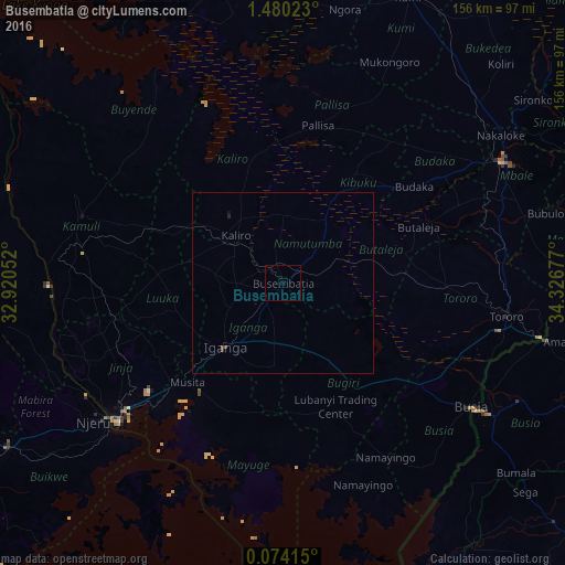
Analysis of Busembatia night lights 2016
Square area 10x10 km:
 0%
0%90-99
0%80-89
0%70-79
0%60-69
0%50-59
0%40-49
0%30-39
0%20-29
0%10-19
0%0-9
100%Square area 50x50 km:
0%90-99
0%80-89
0%70-79
0%60-69
0%50-59
0%40-49
0.07%30-39
0.03%20-29
0.03%10-19
0.03%0-9
99.84%Clear (daylight) street map image can be seen on geolist.org.
Map coordinates:
1° 28' 48.8" North, 32° 55' 13.9" East
0° 46' 38.1" North, 33° 37' 25.1" East
0° 4' 26.9" North, 34° 19' 36.4" East
Some cities around Busembatia sort by population:
• Jinja
60 km =37.3 mi,  231°
231°
• Iganga
25.4 km =15.8 mi,  222°
222°
• Pallisa
42 km =26.1 mi,  13°
13°
• Bugiri
26.4 km =16.4 mi,  150°
150°
• Buwenge
52.2 km =32.4 mi,  254°
254°
• Kamuli
59.1 km =36.7 mi,  288°
288°
• Bugembe
53.8 km =33.4 mi, 232°
• Mayuge
38.7 km =24 mi,  204°
204°
234092 (p: 15,889)
Sources (retrieved 2019-11-25):
» Earth at Night: Flat Maps 2012, 2016