Yalta night lights from space
Night Light of Yalta (Crimea) from space (Ukraine) Src. Average luminocity for 10x10km area is 27.1413% and for 50x50km: 2.4637%.
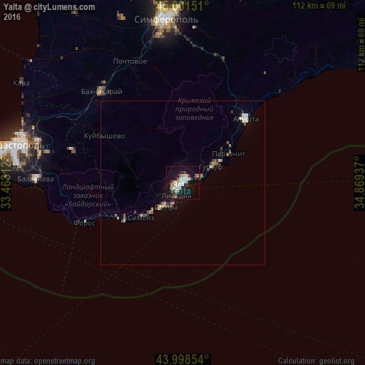
Analysis of Yalta night lights 2016
Square area 10x10 km:
 4.76%
4.76%90-99
6.03%80-89
2.54%70-79
2.22%60-69
3.17%50-59
2.22%40-49
1.9%30-39
3.81%20-29
3.02%10-19
37.14%0-9
33.17%Square area 50x50 km:
0.29%90-99
0.41%80-89
0.21%70-79
0.26%60-69
0.34%50-59
0.28%40-49
0.29%30-39
0.4%20-29
0.38%10-19
1.66%0-9
95.47%Clear (daylight) street map image can be seen on geolist.org.
Map coordinates:
45° 0' 5.4" North, 33° 27' 47.2" East
44° 30' 7.8" North, 34° 9' 58.5" East
43° 59' 54.7" North, 34° 52' 9.7" East
Some cities around Yalta sort by population:
• Alushta
27.4 km =17 mi,  44°
44°
• Bakhchysarai
37.2 km =23.1 mi,  319°
319°
• Gaspra
9.1 km =5.7 mi,  213°
213°
• Gurzuf
10.2 km =6.3 mi,  61°
61°
• Alupka
13.4 km =8.3 mi,  225°
225°
• Massandra
1.9 km =1.2 mi, 64°
• Partenit
16.5 km =10.3 mi, 59°
• Koreiz
10 km =6.2 mi,  220°
220°
688533 (p: 77,003)
Sources (retrieved 2019-11-25):
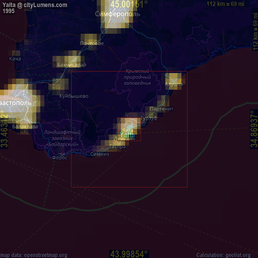
» NASA, Earths city lights 1995
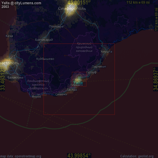
» NASA city lights 2003
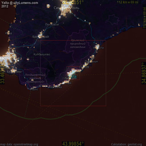
» Earth at Night: Flat Maps 2012, 2016