Veselynove night lights from space
Night Light of Veselynove (Mykolaiv) from space (Ukraine) Src. Average luminocity for 10x10km area is 0.125% and for 50x50km: 0.6174%.
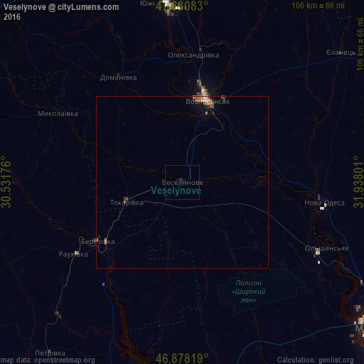
Analysis of Veselynove night lights 2016
Square area 10x10 km:
 0%
0%90-99
0%80-89
0%70-79
0%60-69
0%50-59
0%40-49
0%30-39
0%20-29
0%10-19
0.6%0-9
99.4%Square area 50x50 km:
0.02%90-99
0.05%80-89
0.07%70-79
0.09%60-69
0.16%50-59
0.15%40-49
0.14%30-39
0.07%20-29
0.09%10-19
0.25%0-9
98.91%Clear (daylight) street map image can be seen on geolist.org.
Map coordinates:
47° 49' 51" North, 30° 31' 54.3" East
47° 21' 24" North, 31° 14' 5.6" East
46° 52' 41.5" North, 31° 56' 16.8" East
Some cities around Veselynove sort by population:
• Mykolayiv
72.2 km =44.9 mi,  127°
127°
• Voznesensk
24.3 km =15.1 mi,  17°
17°
• Yuzhnoukrains'k
51.4 km =31.9 mi,  355°
355°
• Nova Odesa
41.8 km =26 mi,  97°
97°
• Vradiyivka
74 km =46 mi,  319°
319°
• Berezivka
29.9 km =18.6 mi,  235°
235°
• Arbuzynka
61.8 km =38.4 mi,  5°
5°
• Domanivka
35.8 km =22.2 mi,  328°
328°
689717 (p: 6,997)
Sources (retrieved 2019-11-25):
» Earth at Night: Flat Maps 2012, 2016