Verkhovyna night lights from space
Night Light of Verkhovyna (Ivano-Frankivsk) from space (Ukraine) Src. Average luminocity for 10x10km area is 0% and for 50x50km: 0.0172%.
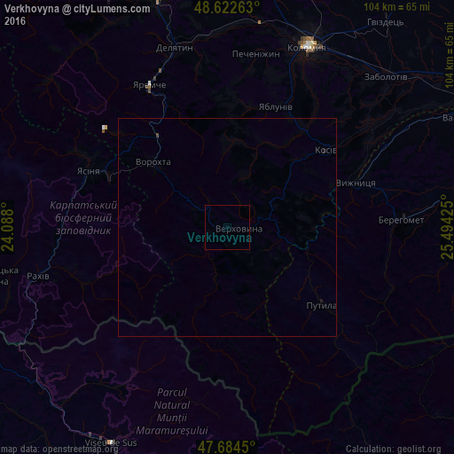
Analysis of Verkhovyna night lights 2016
Square area 10x10 km:
 0%
0%90-99
0%80-89
0%70-79
0%60-69
0%50-59
0%40-49
0%30-39
0%20-29
0%10-19
0%0-9
100%Square area 50x50 km:
0%90-99
0%80-89
0%70-79
0%60-69
0%50-59
0%40-49
0.01%30-39
0.01%20-29
0%10-19
0.05%0-9
99.93%Clear (daylight) street map image can be seen on geolist.org.
Map coordinates:
48° 37' 21.5" North, 24° 5' 16.8" East
48° 9' 20.6" North, 24° 47' 28" East
47° 41' 4.2" North, 25° 29' 39.3" East
Some cities around Verkhovyna sort by population:
• Berehomet
41.4 km =25.7 mi,  86°
86°
• Kosiv
28.4 km =17.6 mi,  52°
52°
• Yasinya
34.7 km =21.6 mi,  293°
293°
• Yaremche
37.3 km =23.2 mi,  331°
331°
• Kosmach
19.5 km =12.1 mi,  6°
6°
• Rozhniv
39.8 km =24.7 mi, 53°
• Pechenizhyn
40.7 km =25.3 mi, 10°
• Stari Kuty
31.1 km =19.3 mi,  65°
65°
689817 (p: 5,290)
Sources (retrieved 2019-11-25):
» Earth at Night: Flat Maps 2012, 2016