Sokyryany night lights from space
Night Light of Sokyryany (Chernivtsi Oblast') from space (Ukraine) Src. Average luminocity for 10x10km area is 0.9205% and for 50x50km: 0.2889%.
Analysis of Sokyryany night lights 2016
Square area 10x10 km:
 0%
0%90-99
0%80-89
0%70-79
0%60-69
0%50-59
0%40-49
0%30-39
0.99%20-29
1.85%10-19
0%0-9
97.16%Square area 50x50 km:
0.05%90-99
0.06%80-89
0.05%70-79
0%60-69
0.05%50-59
0.01%40-49
0.06%30-39
0.05%20-29
0.09%10-19
0.03%0-9
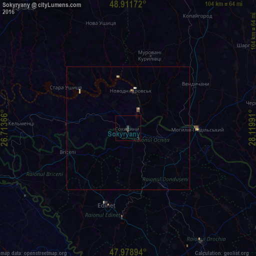
99.55%Clear (daylight) street map image can be seen on geolist.org.
Map coordinates:
48° 54' 42.2" North, 26° 42' 49.2" East
48° 26' 50.9" North, 27° 25' 0.4" East
47° 58' 44.2" North, 28° 7' 11.7" East
Some cities around Sokyryany sort by population:
• Mohyliv-Podilskyi
28.1 km =17.5 mi,  90°
90°
• Briceni, MD
23.4 km =14.5 mi,  115°
115°
• Novodnistrovs’k
15.2 km =9.4 mi,  6°
6°
• Briceni, MD
26.7 km =16.6 mi,  249°
249°
• Donduşeni, MD
26.9 km =16.7 mi,  147°
147°
• Ocniţa, MD
7.4 km =4.6 mi,  167°
167°
• Otaci, MD
28.2 km =17.5 mi, 93°
• Murovani Kurylivtsi
31.6 km =19.6 mi, 13°
693284 (p: 9,192)
Sources (retrieved 2019-11-25):
» Earth at Night: Flat Maps 2012, 2016