Novodnistrovs’k night lights from space
Night Light of Novodnistrovs’k (Chernivtsi Oblast') from space (Ukraine) Src. Average luminocity for 10x10km area is 2.5283% and for 50x50km: 0.3007%.
Analysis of Novodnistrovs’k night lights 2016
Square area 10x10 km:
 1.04%
1.04%90-99
0.15%80-89
0%70-79
0%60-69
0.6%50-59
0%40-49
0.6%30-39
0.15%20-29
0.45%10-19
0.6%0-9
96.43%Square area 50x50 km:
0.05%90-99
0.06%80-89
0.05%70-79
0%60-69
0.05%50-59
0.01%40-49
0.07%30-39
0.05%20-29
0.11%10-19
0.03%0-9
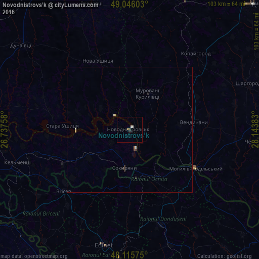
99.52%Clear (daylight) street map image can be seen on geolist.org.
Map coordinates:
49° 2' 45.7" North, 26° 44' 15.3" East
48° 34' 58.9" North, 27° 26' 26.5" East
48° 6' 56.7" North, 28° 8' 37.8" East
Some cities around Novodnistrovs’k sort by population:
• Mohyliv-Podilskyi
30.4 km =18.9 mi,  120°
120°
• Briceni, MD
31.8 km =19.8 mi,  142°
142°
• Briceni, MD
36.3 km =22.6 mi,  227°
227°
• Donduşeni, MD
39.9 km =24.8 mi,  161°
161°
• Ocniţa, MD
22.3 km =13.9 mi,  180°
180°
• Sokyryany
15.2 km =9.4 mi,  186°
186°
• Otaci, MD
31.2 km =19.4 mi, 122°
• Murovani Kurylivtsi
16.6 km =10.3 mi,  20°
20°
699620 (p: 10,770)
Sources (retrieved 2019-11-25):
» Earth at Night: Flat Maps 2012, 2016