Pereval’s’k night lights from space
Night Light of Pereval’s’k (Luhansk) from space (Ukraine) Src. Average luminocity for 10x10km area is 13.7557% and for 50x50km: 1.2467%.
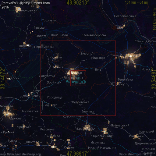
Analysis of Pereval’s’k night lights 2016
Square area 10x10 km:
 0.43%
0.43%90-99
1.99%80-89
0.99%70-79
1.7%60-69
4.55%50-59
3.13%40-49
3.13%30-39
2.27%20-29
0.85%10-19
6.96%0-9
74.01%Square area 50x50 km:
0.04%90-99
0.11%80-89
0.08%70-79
0.09%60-69
0.32%50-59
0.32%40-49
0.26%30-39
0.25%20-29
0.23%10-19
0.93%0-9
97.37%Clear (daylight) street map image can be seen on geolist.org.
Map coordinates:
48° 54' 7.7" North, 38° 8' 26.6" East
48° 26' 16" North, 38° 50' 37.8" East
47° 58' 9" North, 39° 32' 49.1" East
Some cities around Pereval’s’k sort by population:
• Alchevs’k
4 km =2.5 mi,  329°
329°
• Kadiyivka
20.7 km =12.9 mi,  314°
314°
• Bryanka
15 km =9.3 mi,  302°
302°
• Zymohiria
17.8 km =11.1 mi,  22°
22°
• Uspenka
24.1 km =15 mi,  102°
102°
• Artemivs’k
8.3 km =5.2 mi,  272°
272°
• Zoryns’k
16.5 km =10.3 mi,  259°
259°
• Bile
16.5 km =10.3 mi,  67°
67°
697650 (p: 29,220)
Sources (retrieved 2019-11-25):
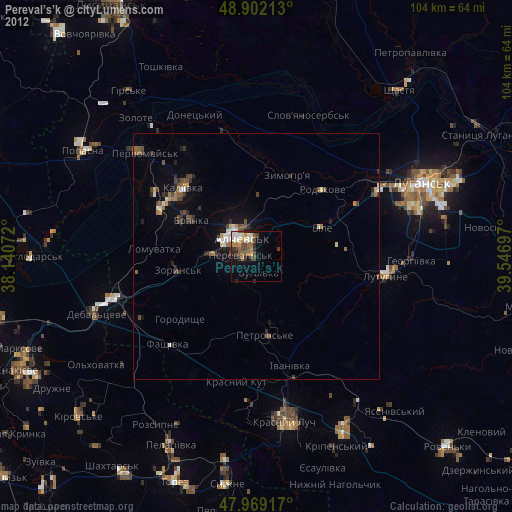
» Earth at Night: Flat Maps 2012, 2016