Shakhtars’k night lights from space
Night Light of Shakhtars’k (Donetsk) from space (Ukraine) Src. Average luminocity for 10x10km area is 3.9787% and for 50x50km: 1.9798%.
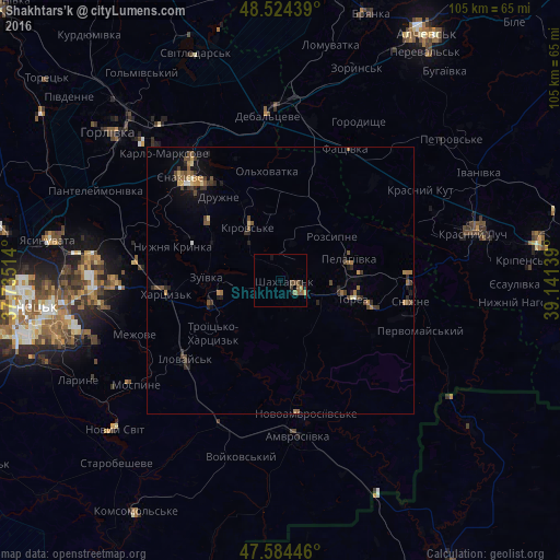
Analysis of Shakhtars’k night lights 2016
Square area 10x10 km:
 0%
0%90-99
0%80-89
0%70-79
1.14%60-69
0.71%50-59
1.99%40-49
1.28%30-39
0.57%20-29
1.14%10-19
1.14%0-9
92.05%Square area 50x50 km:
0.01%90-99
0.1%80-89
0.21%70-79
0.25%60-69
0.45%50-59
0.45%40-49
0.57%30-39
0.47%20-29
0.51%10-19
0.81%0-9
96.18%Clear (daylight) street map image can be seen on geolist.org.
Map coordinates:
48° 31' 27.8" North, 37° 44' 6.5" East
48° 3' 23.7" North, 38° 26' 17.7" East
47° 35' 4.1" North, 39° 8' 29" East
Some cities around Shakhtars’k sort by population:
• Yenakiyeve
25.9 km =16.1 mi,  319°
319°
• Chystyakove
12 km =7.5 mi,  99°
99°
• Khartsyz’k
21.7 km =13.5 mi,  265°
265°
• Snizhne
25.1 km =15.6 mi, 97°
• Amvrosiyivka
29.4 km =18.3 mi,  174°
174°
• Zuhres
13.9 km =8.6 mi,  248°
248°
• Ilovays’k
22.9 km =14.2 mi,  230°
230°
• Nyzhnya Krynka
21.6 km =13.4 mi,  287°
287°
694382 (p: 71,700)
Sources (retrieved 2019-11-25):
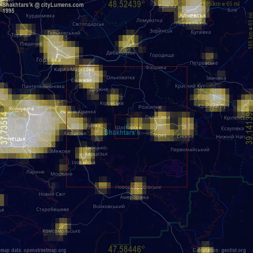
» NASA, Earths city lights 1995
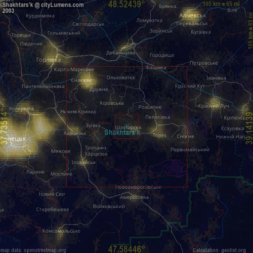
» NASA city lights 2003
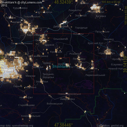
» Earth at Night: Flat Maps 2012, 2016