Saki night lights from space
Night Light of Saki (Crimea) from space (Ukraine) Src. Average luminocity for 10x10km area is 5.7045% and for 50x50km: 1.6603%.
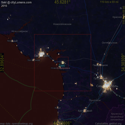
Analysis of Saki night lights 2016
Square area 10x10 km:
 0%
0%90-99
0%80-89
0%70-79
2.27%60-69
1.97%50-59
0.61%40-49
1.36%30-39
1.06%20-29
1.82%10-19
0%0-9
90.91%Square area 50x50 km:
0.23%90-99
0.28%80-89
0.1%70-79
0.15%60-69
0.35%50-59
0.19%40-49
0.11%30-39
0.23%20-29
0.26%10-19
1.42%0-9
96.69%Clear (daylight) street map image can be seen on geolist.org.
Map coordinates:
45° 37' 41.2" North, 32° 53' 48.6" East
45° 8' 3.3" North, 33° 35' 59.9" East
44° 38' 9.8" North, 34° 18' 11.1" East
Some cities around Saki sort by population:
• Simferopol
44.7 km =27.8 mi,  116°
116°
• Yevpatoriya
19.7 km =12.2 mi,  292°
292°
• Hvardiiske
33.2 km =20.6 mi,  93°
93°
• Gresovskiy
36.3 km =22.6 mi,  112°
112°
• Mirnoye
40 km =24.9 mi, 114°
• Molodyozhnoye
38.7 km =24 mi, 112°
• Vilino
32.6 km =20.3 mi,  170°
170°
• Novofedorovka
4.9 km =3 mi,  206°
206°
694910 (p: 28,322)
Sources (retrieved 2019-11-25):
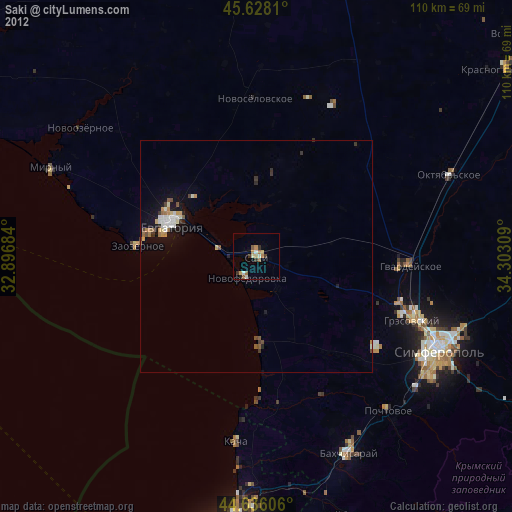
» Earth at Night: Flat Maps 2012, 2016