Khust night lights from space
Night Light of Khust (Transcarpathia) from space (Ukraine) Src. Average luminocity for 10x10km area is 4.1057% and for 50x50km: 0.4269%.
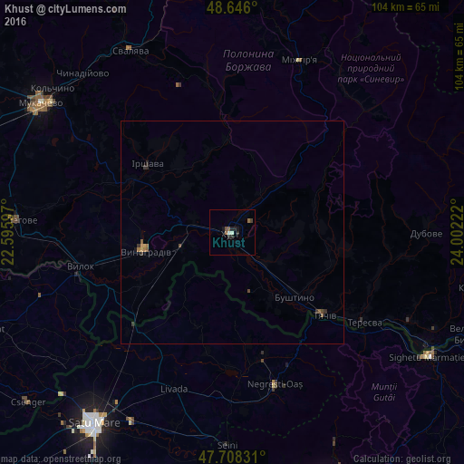
Analysis of Khust night lights 2016
Square area 10x10 km:
 0.45%
0.45%90-99
0.74%80-89
0%70-79
0%60-69
1.19%50-59
1.19%40-49
0%30-39
0.6%20-29
1.93%10-19
1.93%0-9
91.96%Square area 50x50 km:
0.02%90-99
0.03%80-89
0.02%70-79
0.05%60-69
0.12%50-59
0.14%40-49
0.07%30-39
0.14%20-29
0.14%10-19
0.1%0-9
99.18%Clear (daylight) street map image can be seen on geolist.org.
Map coordinates:
48° 38' 45.6" North, 22° 35' 45.5" East
48° 10' 45.5" North, 23° 17' 56.7" East
47° 42' 29.9" North, 24° 0' 8" East
Some cities around Khust sort by population:
• Vynohradiv
20.6 km =12.8 mi,  258°
258°
• Bushtyno
19.9 km =12.4 mi,  135°
135°
• Korolevo
12.4 km =7.7 mi, 256°
• Vyshkovo
17.1 km =10.6 mi,  147°
147°
• Bilky
19.5 km =12.1 mi,  320°
320°
• Turţ, RO
22.6 km =14 mi,  195°
195°
• Dovhe
20.7 km =12.9 mi,  355°
355°
• Iza
4.6 km =2.9 mi,  28°
28°
706165 (p: 27,999)
Sources (retrieved 2019-11-25):
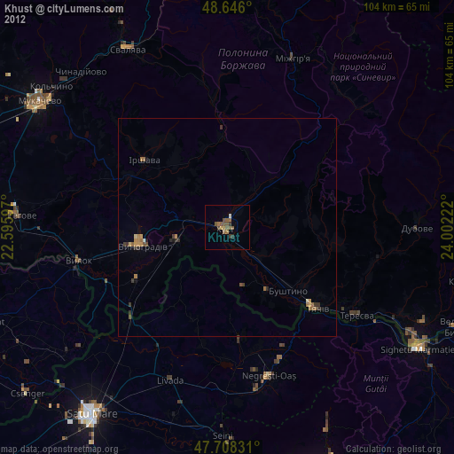
» Earth at Night: Flat Maps 2012, 2016