Marshintsy night lights from space
Night Light of Marshintsy (Chernivtsi Oblast') from space (Ukraine) Src. Average luminocity for 10x10km area is 1.8854% and for 50x50km: 1.0594%.
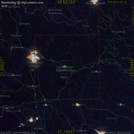
Analysis of Marshintsy night lights 2016
Square area 10x10 km:
 0%
0%90-99
0%80-89
0%70-79
0%60-69
0.6%50-59
0.6%40-49
1.19%30-39
0.74%20-29
1.04%10-19
0%0-9
95.83%Square area 50x50 km:
0.07%90-99
0.23%80-89
0.06%70-79
0.09%60-69
0.12%50-59
0.2%40-49
0.18%30-39
0.16%20-29
0.36%10-19
1.01%0-9
97.51%Clear (daylight) street map image can be seen on geolist.org.
Map coordinates:
48° 41' 1.9" North, 25° 35' 17.6" East
48° 13' 3" North, 26° 17' 28.8" East
47° 44' 48.7" North, 26° 59' 40.1" East
Some cities around Marshintsy sort by population:
• Chernivtsi
27.3 km =17 mi,  287°
287°
• Darabani, RO
22 km =13.7 mi,  99°
99°
• Novoselytsya
1.9 km =1.2 mi,  275°
275°
• Hudeşti, RO
17.2 km =10.7 mi,  115°
115°
• Klishkivtsi
23.9 km =14.9 mi,  354°
354°
• Suharău, RO
13.2 km =8.2 mi,  135°
135°
• Dersca, RO
26.9 km =16.7 mi,  194°
194°
• Mihăileni, RO
29.8 km =18.5 mi,  200°
200°
701768 (p: 5,141)
Sources (retrieved 2019-11-25):
» Earth at Night: Flat Maps 2012, 2016