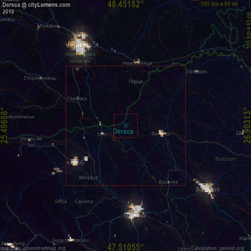
Dersca night lights from space
Night Light of Dersca (Botoşani) from space (Romania) Src. Average luminocity for 10x10km area is 0% and for 50x50km: 0.7537%.
Analysis of Dersca night lights 2016
Square area 10x10 km:
 0%
0%90-99
0%80-89
0%70-79
0%60-69
0%50-59
0%40-49
0%30-39
0%20-29
0%10-19
0%0-9
100%Square area 50x50 km:
0.08%90-99
0.13%80-89
0.05%70-79
0.09%60-69
0.15%50-59
0.13%40-49
0.08%30-39
0.15%20-29
0.06%10-19
0.06%0-9
99.02%Clear (daylight) street map image can be seen on geolist.org.
Map coordinates:
48° 27' 6.6" North, 25° 29' 48.8" East
47° 58' 60" North, 26° 12' 0" East
47° 30' 38" North, 26° 54' 11.3" East
Some cities around Dersca sort by population:
• Dorohoi
15.3 km =9.5 mi,  103°
103°
• Rădăuți
25.8 km =16 mi,  234°
234°
• Siret
10.6 km =6.6 mi,  249°
249°
• Hlyboka, UA
23.3 km =14.5 mi,  300°
300°
• Zvoriştea
17.8 km =11.1 mi,  159°
159°
• Calafindeşti
16.1 km =10 mi,  202°
202°
• Suharău
23.2 km =14.4 mi,  43°
43°
• Mihăileni
4.2 km =2.6 mi,  243°
243°
679467 (p: 5,105)
Sources (retrieved 2019-11-25):
» Earth at Night: Flat Maps 2012, 2016