Mihăileni night lights from space
Night Light of Mihăileni (Botoşani) from space (Romania) Src. Average luminocity for 10x10km area is 0.0114% and for 50x50km: 0.795%.
Analysis of Mihăileni night lights 2016
Square area 10x10 km:
 0%
0%90-99
0%80-89
0%70-79
0%60-69
0%50-59
0%40-49
0%30-39
0%20-29
0%10-19
0%0-9
100%Square area 50x50 km:
0.08%90-99
0.13%80-89
0.05%70-79
0.09%60-69
0.15%50-59
0.14%40-49
0.14%30-39
0.18%20-29
0.06%10-19
0.06%0-9
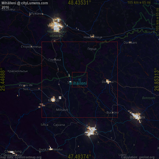
98.93%Clear (daylight) street map image can be seen on geolist.org.
Map coordinates:
48° 26' 7.1" North, 25° 26' 48.8" East
47° 58' 0" North, 26° 9' 0" East
47° 29' 37.5" North, 26° 51' 11.3" East
Some cities around Mihăileni sort by population:
• Dorohoi
18.7 km =11.6 mi,  95°
95°
• Rădăuți
21.7 km =13.5 mi,  233°
233°
• Siret
6.5 km =4 mi,  253°
253°
• Hlyboka, UA
21.4 km =13.3 mi,  309°
309°
• Zvoriştea
17.8 km =11.1 mi,  146°
146°
• Calafindeşti
13.2 km =8.2 mi,  190°
190°
• Frătăuţii Noi
22.9 km =14.2 mi,  263°
263°
• Dersca
4.2 km =2.6 mi,  63°
63°
673392 (p: 5,037)
Sources (retrieved 2019-11-25):
» Earth at Night: Flat Maps 2012, 2016