Krasnoperekops’k night lights from space
Night Light of Krasnoperekops’k (Crimea) from space (Ukraine) Src. Average luminocity for 10x10km area is 9.6324% and for 50x50km: 0.6453%.
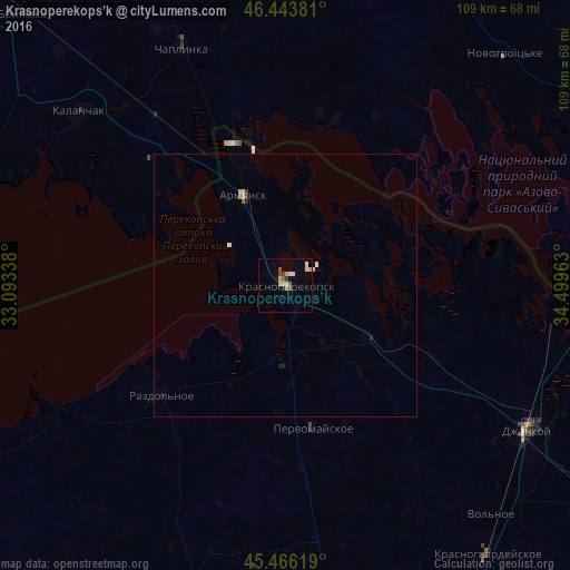
Analysis of Krasnoperekops’k night lights 2016
Square area 10x10 km:
 0.45%
0.45%90-99
1.93%80-89
1.79%70-79
1.49%60-69
0.89%50-59
2.38%40-49
1.04%30-39
0.74%20-29
0%10-19
0.6%0-9
88.69%Square area 50x50 km:
0.02%90-99
0.18%80-89
0.12%70-79
0.06%60-69
0.04%50-59
0.14%40-49
0.04%30-39
0.07%20-29
0.03%10-19
0.12%0-9
99.19%Clear (daylight) street map image can be seen on geolist.org.
Map coordinates:
46° 26' 37.7" North, 33° 5' 36.2" East
45° 57' 25.8" North, 33° 47' 47.4" East
45° 27' 58.3" North, 34° 29' 58.7" East
Some cities around Krasnoperekops’k sort by population:
• Dzhankoy
53.7 km =33.4 mi,  120°
120°
• Armyansk
18.7 km =11.6 mi,  334°
334°
• Skadovs’k
70.6 km =43.9 mi,  284°
284°
• Kalanchak
51.2 km =31.8 mi,  310°
310°
• Chaplynka
49.5 km =30.8 mi,  336°
336°
• Pervomayskoye
27 km =16.8 mi,  170°
170°
• Razdol’noye
31.6 km =19.6 mi,  229°
229°
• Petrovka
63.8 km =39.6 mi,  143°
143°
704362 (p: 30,700)
Sources (retrieved 2019-11-25):
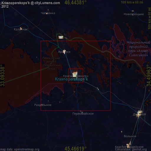
» Earth at Night: Flat Maps 2012, 2016