Khodoriv night lights from space
Night Light of Khodoriv (Lviv) from space (Ukraine) Src. Average luminocity for 10x10km area is 0.6564% and for 50x50km: 0.287%.
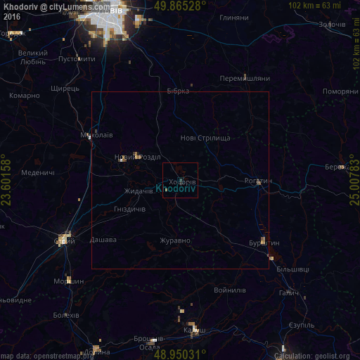
Analysis of Khodoriv night lights 2016
Square area 10x10 km:
 0%
0%90-99
0%80-89
0%70-79
0%60-69
0%50-59
0.53%40-49
0%30-39
0.53%20-29
0%10-19
0.53%0-9
98.4%Square area 50x50 km:
0.01%90-99
0.01%80-89
0%70-79
0.04%60-69
0.12%50-59
0.08%40-49
0.06%30-39
0.11%20-29
0.03%10-19
0.06%0-9
99.49%Clear (daylight) street map image can be seen on geolist.org.
Map coordinates:
49° 51' 55" North, 23° 36' 5.7" East
49° 24' 35.7" North, 24° 18' 16.9" East
48° 57' 1.1" North, 25° 0' 28.2" East
Some cities around Khodoriv sort by population:
• Stryi
36.4 km =22.6 mi,  243°
243°
• Burshtyn
28.8 km =17.9 mi,  125°
125°
• Mykolaiv
26.3 km =16.3 mi,  298°
298°
• Pustomyty
44.2 km =27.5 mi,  320°
320°
• Rohatyn
22 km =13.7 mi,  90°
90°
• Peremyshlyany
33.8 km =21 mi,  32°
32°
• Morshyn
42.2 km =26.2 mi,  228°
228°
• Shchyrets
41 km =25.5 mi,  310°
310°
706352 (p: 10,172)
Sources (retrieved 2019-11-25):
» Earth at Night: Flat Maps 2012, 2016