Bar night lights from space
Night Light of Bar (Vinnyts'ka) from space (Ukraine) Src. Average luminocity for 10x10km area is 0.6317% and for 50x50km: 0.0337%.
Analysis of Bar night lights 2016
Square area 10x10 km:
 0%
0%90-99
0%80-89
0%70-79
0%60-69
0.42%50-59
0.14%40-49
0%30-39
0.56%20-29
0%10-19
0.56%0-9
98.32%Square area 50x50 km:
0%90-99
0%80-89
0%70-79
0%60-69
0.02%50-59
0.01%40-49
0%30-39
0.05%20-29
0%10-19
0.02%0-9
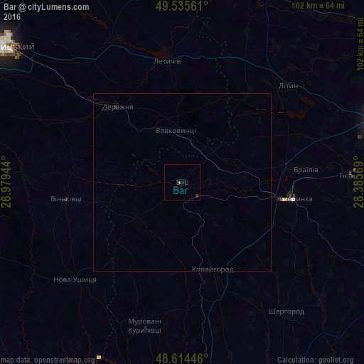
99.91%Clear (daylight) street map image can be seen on geolist.org.
Map coordinates:
49° 32' 8.2" North, 26° 58' 46" East
49° 4' 37.8" North, 27° 40' 57.2" East
48° 36' 52.1" North, 28° 23' 8.5" East
Some cities around Bar sort by population:
• Zhmerynka
31.6 km =19.6 mi,  98°
98°
• Khmilnyk
57.2 km =35.5 mi,  20°
20°
• Letychiv
34.2 km =21.3 mi,  353°
353°
• Derazhnya
28 km =17.4 mi,  319°
319°
• Sharhorod
45.8 km =28.5 mi,  141°
141°
• Lityn
40 km =24.9 mi,  46°
46°
• Sutysky
53.7 km =33.4 mi,  94°
94°
• Murovani Kurylivtsi
41.1 km =25.5 mi,  196°
196°
712861 (p: 16,641)
Sources (retrieved 2019-11-25):
» Earth at Night: Flat Maps 2012, 2016