Mungaa night lights from space
Night Light of Mungaa (Singida) from space (Tanzania) Src. Average luminocity for 10x10km area is 0% and for 50x50km: 1.128%.
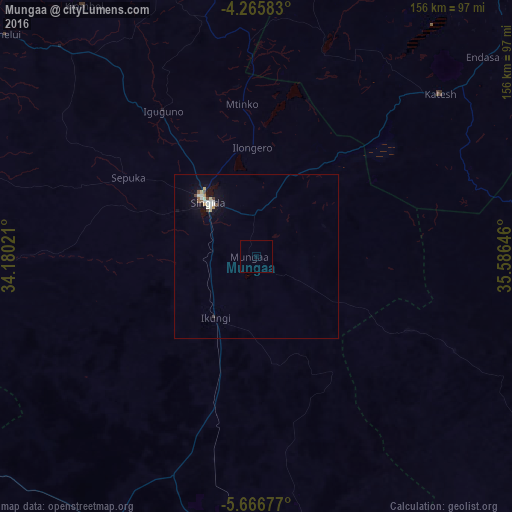
Analysis of Mungaa night lights 2016
Square area 10x10 km:
100  0%
0%
90-99 0%
80-89 0%
70-79 0%
60-69 0%
50-59 0%
40-49 0%
30-39 0%
20-29 0%
10-19 0%
0-9 100%
0%90-99
0%80-89
0%70-79
0%60-69
0%50-59
0%40-49
0%30-39
0%20-29
0%10-19
0%0-9
100%Square area 50x50 km:
100 0.09%
90-99 0.33%
80-89 0.16%
70-79 0.08%
60-69 0.03%
50-59 0.15%
40-49 0.16%
30-39 0.06%
20-29 0%
10-19 0.8%
0-9 98.14%
0.09%90-99
0.33%80-89
0.16%70-79
0.08%60-69
0.03%50-59
0.15%40-49
0.16%30-39
0.06%20-29
0%10-19
0.8%0-9
98.14%Clear (daylight) street map image can be seen on geolist.org.
Map coordinates:
4° 15' 57" South, 34° 10' 48.8" East
4° 58' 0" South, 34° 52' 60" East
5° 40' 0.4" South, 35° 35' 11.3" East
Some cities around Mungaa sort by population:
• Singida
22.8 km =14.2 mi,  317°
317°
• Mtinko
46.5 km =28.9 mi,  355°
355°
• Sepuka
45.7 km =28.4 mi,  301°
301°
• Igugunu
52.4 km =32.6 mi,  328°
328°
• Basotu
70.3 km =43.7 mi,  18°
18°
• Ikungi
22.6 km =14 mi,  214°
214°
• Ilongero
33.4 km =20.8 mi, 356°
• Puma
17 km =10.6 mi,  257°
257°
152546 (p: 16,715)
Sources (retrieved 2019-11-25):
» Earth at Night: Flat Maps 2012, 2016