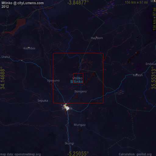
Mtinko night lights from space
Night Light of Mtinko (Singida) from space (Tanzania) Src. Average luminocity for 10x10km area is 0% and for 50x50km: 0.0433%.
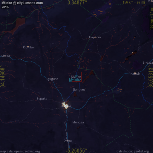
Analysis of Mtinko night lights 2016
Square area 10x10 km:
100  0%
0%
90-99 0%
80-89 0%
70-79 0%
60-69 0%
50-59 0%
40-49 0%
30-39 0%
20-29 0%
10-19 0%
0-9 100%
0%90-99
0%80-89
0%70-79
0%60-69
0%50-59
0%40-49
0%30-39
0%20-29
0%10-19
0%0-9
100%Square area 50x50 km:
100 0%
90-99 0%
80-89 0%
70-79 0%
60-69 0%
50-59 0%
40-49 0%
30-39 0%
20-29 0%
10-19 0.03%
0-9 99.97%
0%90-99
0%80-89
0%70-79
0%60-69
0%50-59
0%40-49
0%30-39
0%20-29
0%10-19
0.03%0-9
99.97%Clear (daylight) street map image can be seen on geolist.org.
Map coordinates:
3° 50' 55.6" South, 34° 8' 48.8" East
4° 33' 0" South, 34° 51' 0" East
5° 15' 2" South, 35° 33' 11.3" East
Some cities around Mtinko sort by population:
• Singida
31.9 km =19.8 mi,  201°
201°
• Sepuka
41.5 km =25.8 mi,  237°
237°
• Igugunu
24.1 km =15 mi,  265°
265°
• Basotu
32.9 km =20.4 mi,  51°
51°
• Ilongero
13.1 km =8.1 mi,  171°
171°
• Puma
51.7 km =32.1 mi,  194°
194°
• Mungaa
46.5 km =28.9 mi,  175°
175°
• Ndago
55.7 km =34.6 mi,  264°
264°
152781 (p: 26,725)
Sources (retrieved 2019-11-25):
» Earth at Night: Flat Maps 2012, 2016