Singida night lights from space
Night Light of Singida from space (Tanzania) Src. Average luminocity for 10x10km area is 24.3037% and for 50x50km: 1.1103%.
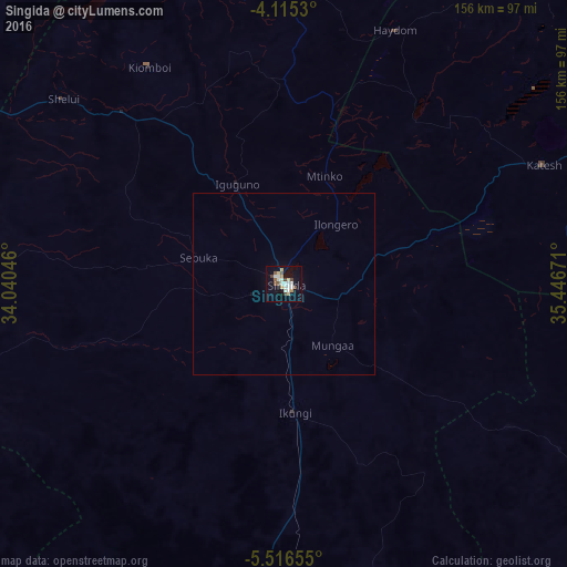
Analysis of Singida night lights 2016
Square area 10x10 km:
 2.07%
2.07%90-99
8.06%80-89
3.93%70-79
1.86%60-69
0.83%50-59
3.51%40-49
3.93%30-39
0.62%20-29
0%10-19
18.39%0-9
56.82%Square area 50x50 km:
0.09%90-99
0.33%80-89
0.16%70-79
0.08%60-69
0.03%50-59
0.15%40-49
0.16%30-39
0.03%20-29
0%10-19
0.8%0-9
98.17%Clear (daylight) street map image can be seen on geolist.org.
Map coordinates:
4° 6' 55.1" South, 34° 2' 25.7" East
4° 48' 58.6" South, 34° 44' 36.9" East
5° 30' 59.6" South, 35° 26' 48.2" East
Some cities around Singida sort by population:
• Mtinko
31.9 km =19.8 mi,  21°
21°
• Sepuka
24.4 km =15.2 mi,  287°
287°
• Igugunu
30.3 km =18.8 mi,  336°
336°
• Ikungi
35.3 km =21.9 mi,  175°
175°
• Ilongero
21.5 km =13.4 mi,  39°
39°
• Puma
20.5 km =12.7 mi, 183°
• Mungaa
22.8 km =14.2 mi,  137°
137°
• Ndago
49.8 km =30.9 mi,  298°
298°
149879 (p: 62,432)
Sources (retrieved 2019-11-25):
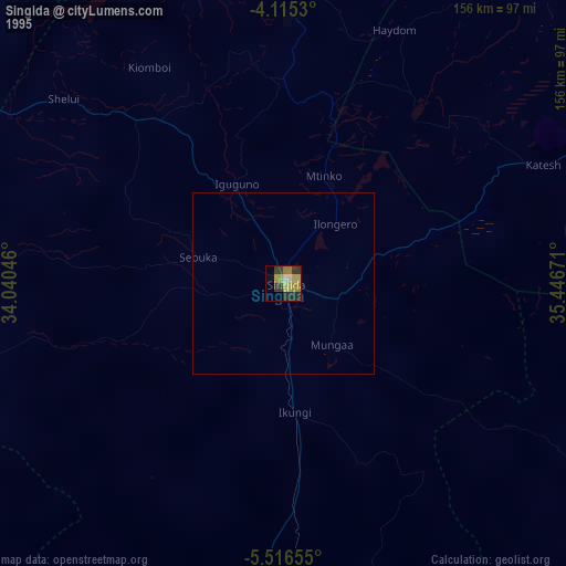
» NASA, Earths city lights 1995
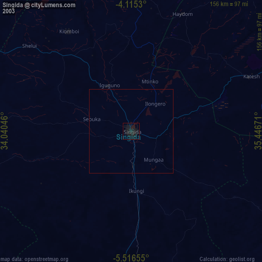
» NASA city lights 2003
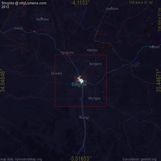
» Earth at Night: Flat Maps 2012, 2016