Mtimbira night lights from space
Night Light of Mtimbira (Morogoro) from space (Tanzania) Src. Average luminocity for 10x10km area is 0% and for 50x50km: 0%.
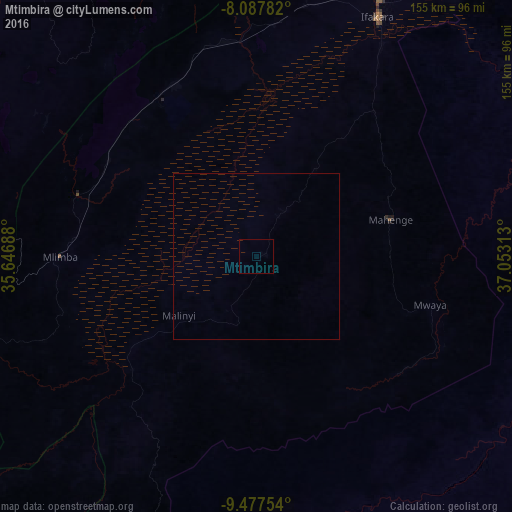
Analysis of Mtimbira night lights 2016
Square area 10x10 km:
100  0%
0%
90-99 0%
80-89 0%
70-79 0%
60-69 0%
50-59 0%
40-49 0%
30-39 0%
20-29 0%
10-19 0%
0-9 100%
0%90-99
0%80-89
0%70-79
0%60-69
0%50-59
0%40-49
0%30-39
0%20-29
0%10-19
0%0-9
100%Square area 50x50 km:
100 0%
90-99 0%
80-89 0%
70-79 0%
60-69 0%
50-59 0%
40-49 0%
30-39 0%
20-29 0%
10-19 0%
0-9 100%
0%90-99
0%80-89
0%70-79
0%60-69
0%50-59
0%40-49
0%30-39
0%20-29
0%10-19
0%0-9
100%Clear (daylight) street map image can be seen on geolist.org.
Map coordinates:
8° 5' 16.2" South, 35° 38' 48.8" East
8° 46' 60" South, 36° 21' 0" East
9° 28' 39.1" South, 37° 3' 11.3" East
Some cities around Mtimbira sort by population:
• Iringa
133.8 km =83.1 mi,  327°
327°
• Ifakara
81 km =50.3 mi,  26°
26°
• Mlimba
58.6 km =36.4 mi,  268°
268°
• Ilula
127.8 km =79.4 mi,  344°
344°
• Malinyi
29.1 km =18.1 mi,  234°
234°
• Lupiro
56.5 km =35.1 mi,  38°
38°
• Makungu
117.4 km =72.9 mi, 272°
• Mahenge
41.8 km =26 mi,  74°
74°
152793 (p: 11,122)
Sources (retrieved 2019-11-25):
» Earth at Night: Flat Maps 2012, 2016