Mahenge night lights from space
Night Light of Mahenge (Morogoro) from space (Tanzania) Src. Average luminocity for 10x10km area is 1.3905% and for 50x50km: 0.0566%.
Analysis of Mahenge night lights 2016
Square area 10x10 km:
 0%
0%90-99
0%80-89
0%70-79
0%60-69
0%50-59
0.83%40-49
0%30-39
0%20-29
1.65%10-19
3.31%0-9
94.21%Square area 50x50 km:
0%90-99
0%80-89
0%70-79
0%60-69
0%50-59
0.03%40-49
0%30-39
0%20-29
0.07%10-19
0.13%0-9
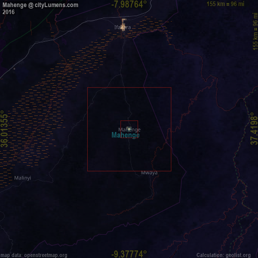
99.76%Clear (daylight) street map image can be seen on geolist.org.
Map coordinates:
7° 59' 15.5" South, 36° 0' 48.8" East
8° 40' 60" South, 36° 43' 0" East
9° 22' 39.9" South, 37° 25' 11.3" East
Some cities around Mahenge sort by population:
• Ifakara
61.3 km =38.1 mi,  356°
356°
• Kidatu
112.6 km =70 mi,  13°
13°
• Kidodi
124.2 km =77.2 mi, 14°
• Mlimba
99.8 km =62 mi,  262°
262°
• Ilula
134.7 km =83.7 mi,  326°
326°
• Malinyi
69.9 km =43.4 mi,  246°
246°
• Lupiro
33.8 km =21 mi,  350°
350°
• Mtimbira
41.8 km =26 mi, 254°
155274 (p: 7,768)
Sources (retrieved 2019-11-25):
» Earth at Night: Flat Maps 2012, 2016