Kidatu night lights from space
Night Light of Kidatu (Morogoro) from space (Tanzania) Src. Average luminocity for 10x10km area is 4.0888% and for 50x50km: 0.2519%.
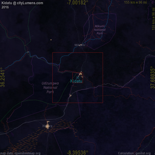
Analysis of Kidatu night lights 2016
Square area 10x10 km:
100  0%
0%
90-99 0%
80-89 0%
70-79 0%
60-69 2.27%
50-59 1.65%
40-49 0.21%
30-39 2.07%
20-29 1.86%
10-19 1.45%
0-9 90.5%
0%90-99
0%80-89
0%70-79
0%60-69
2.27%50-59
1.65%40-49
0.21%30-39
2.07%20-29
1.86%10-19
1.45%0-9
90.5%Square area 50x50 km:
100 0%
90-99 0%
80-89 0%
70-79 0%
60-69 0.09%
50-59 0.07%
40-49 0.05%
30-39 0.19%
20-29 0.11%
10-19 0.09%
0-9 99.39%
0%90-99
0%80-89
0%70-79
0%60-69
0.09%50-59
0.07%40-49
0.05%30-39
0.19%20-29
0.11%10-19
0.09%0-9
99.39%Clear (daylight) street map image can be seen on geolist.org.
Map coordinates:
7° 0' 6.6" South, 36° 15' 14.8" East
7° 41' 57" South, 36° 57' 26" East
8° 23' 43.3" South, 37° 39' 37.3" East
Some cities around Kidatu sort by population:
• Kilosa
96.3 km =59.8 mi,  1°
1°
• Ifakara
56.9 km =35.4 mi,  211°
211°
• Kidodi
11.8 km =7.3 mi,  26°
26°
• Ilula
101.5 km =63.1 mi,  271°
271°
• Mikumi
32.9 km =20.4 mi, 4°
• Lupiro
82.5 km =51.3 mi,  202°
202°
• Kimamba
103.7 km =64.4 mi,  10°
10°
• Kisanga
87.3 km =54.2 mi,  70°
70°
157863 (p: 37,542)
Sources (retrieved 2019-11-25):
» Earth at Night: Flat Maps 2012, 2016