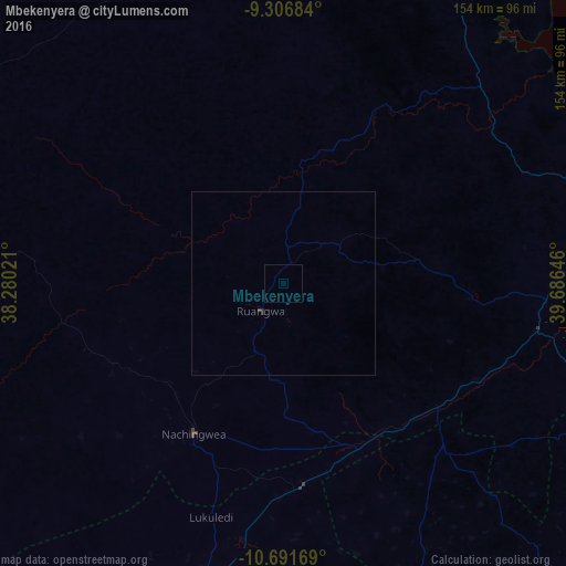
Mbekenyera night lights from space
Night Light of Mbekenyera (Lindi) from space (Tanzania) Src. Average luminocity for 10x10km area is 0.0103% and for 50x50km: 0.0341%.
Analysis of Mbekenyera night lights 2016
Square area 10x10 km:
 0%
0%90-99
0%80-89
0%70-79
0%60-69
0%50-59
0%40-49
0%30-39
0%20-29
0%10-19
0%0-9
100%Square area 50x50 km:
0%90-99
0%80-89
0%70-79
0%60-69
0%50-59
0%40-49
0%30-39
0.03%20-29
0.07%10-19
0%0-9
99.9%Clear (daylight) street map image can be seen on geolist.org.
Map coordinates:
9° 18' 24.6" South, 38° 16' 48.8" East
10° 0' 0" South, 38° 58' 60" East
10° 41' 30.1" South, 39° 41' 11.3" East
Some cities around Mbekenyera sort by population:
• Lindi
80.3 km =49.9 mi,  89°
89°
• Lukuledi
66.1 km =41.1 mi,  197°
197°
• Nachingwea
48 km =29.8 mi,  210°
210°
• Nanganga
46.4 km =28.8 mi,  156°
156°
• Nyangao
49.5 km =30.8 mi,  138°
138°
• Mtama
53.6 km =33.3 mi,  128°
128°
• Ruangwa
9.2 km =5.7 mi,  216°
216°
• Mingoyo
70.5 km =43.8 mi,  99°
99°
878006 (p: 11,794)
Sources (retrieved 2019-11-25):
» Earth at Night: Flat Maps 2012, 2016