Lindi night lights from space
Night Light of Lindi from space (Tanzania) Src. Average luminocity for 10x10km area is 2.6343% and for 50x50km: 0.1178%.
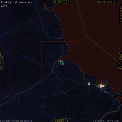
Analysis of Lindi night lights 2016
Square area 10x10 km:
100  0%
0%
90-99 0%
80-89 0%
70-79 0%
60-69 1.65%
50-59 0%
40-49 2.27%
30-39 1.03%
20-29 0%
10-19 0%
0-9 95.04%
0%90-99
0%80-89
0%70-79
0%60-69
1.65%50-59
0%40-49
2.27%30-39
1.03%20-29
0%10-19
0%0-9
95.04%Square area 50x50 km:
100 0%
90-99 0%
80-89 0%
70-79 0%
60-69 0.07%
50-59 0%
40-49 0.09%
30-39 0.04%
20-29 0.03%
10-19 0%
0-9 99.76%
0%90-99
0%80-89
0%70-79
0%60-69
0.07%50-59
0%40-49
0.09%30-39
0.04%20-29
0.03%10-19
0%0-9
99.76%Clear (daylight) street map image can be seen on geolist.org.
Map coordinates:
9° 18' 14.1" South, 39° 0' 48.1" East
9° 59' 49.5" South, 39° 42' 59.4" East
10° 41' 19.6" South, 40° 25' 10.6" East
Some cities around Lindi sort by population:
• Mtwara
59.2 km =36.8 mi,  120°
120°
• Nanyamba
77.4 km =48.1 mi,  170°
170°
• Nanganga
75.4 km =46.9 mi,  235°
235°
• Nyangao
60.4 km =37.5 mi,  231°
231°
• Kitama
80 km =49.7 mi,  178°
178°
• Mtama
51 km =31.7 mi, 228°
• Mbekenyera
80.3 km =49.9 mi,  269°
269°
• Mingoyo
16.1 km =10 mi,  221°
221°
878281 (p: 41,912)
Sources (retrieved 2019-11-25):
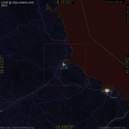
» Earth at Night: Flat Maps 2012, 2016