Ruangwa night lights from space
Night Light of Ruangwa (Lindi) from space (Tanzania) Src. Average luminocity for 10x10km area is 0.8368% and for 50x50km: 0.0341%.
Analysis of Ruangwa night lights 2016
Square area 10x10 km:
 0%
0%90-99
0%80-89
0%70-79
0%60-69
0%50-59
0%40-49
0%30-39
0.83%20-29
1.65%10-19
0%0-9
97.52%Square area 50x50 km:
0%90-99
0%80-89
0%70-79
0%60-69
0%50-59
0%40-49
0%30-39
0.03%20-29
0.07%10-19
0%0-9
99.9%Clear (daylight) street map image can be seen on geolist.org.
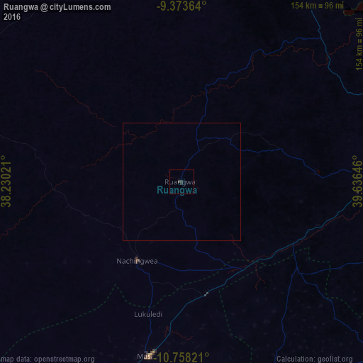
Map coordinates:
9° 22' 25.1" South, 38° 13' 48.8" East
10° 4' 0" South, 38° 55' 60" East
10° 45' 29.6" South, 39° 38' 11.3" East
Some cities around Ruangwa sort by population:
• Masasi
73.7 km =45.8 mi,  191°
191°
• Lukuledi
57.5 km =35.7 mi, 194°
• Nachingwea
38.8 km =24.1 mi,  208°
208°
• Nanganga
42.4 km =26.3 mi,  146°
146°
• Nyangao
48.4 km =30.1 mi,  127°
127°
• Mtama
54.1 km =33.6 mi,  118°
118°
• Mbekenyera
9.2 km =5.7 mi,  36°
36°
• Mingoyo
75.1 km =46.7 mi,  93°
93°
877433 (p: 11,095)
Sources (retrieved 2019-11-25):
» Earth at Night: Flat Maps 2012, 2016