Lukuledi night lights from space
Night Light of Lukuledi (Mtwara) from space (Tanzania) Src. Average luminocity for 10x10km area is 0% and for 50x50km: 0.4173%.
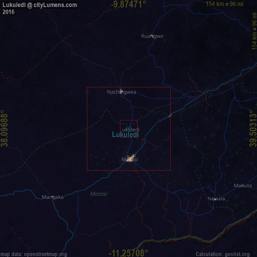
Analysis of Lukuledi night lights 2016
Square area 10x10 km:
 0%
0%90-99
0%80-89
0%70-79
0%60-69
0%50-59
0%40-49
0%30-39
0%20-29
0%10-19
0%0-9
100%Square area 50x50 km:
0%90-99
0%80-89
0%70-79
0.1%60-69
0.07%50-59
0.09%40-49
0.15%30-39
0.23%20-29
0.12%10-19
0.05%0-9
99.19%Clear (daylight) street map image can be seen on geolist.org.
Map coordinates:
9° 52' 29" South, 38° 5' 48.8" East
10° 34' 0" South, 38° 48' 0" East
11° 15' 25.5" South, 39° 30' 11.3" East
Some cities around Lukuledi sort by population:
• Masasi
16.7 km =10.4 mi,  180°
180°
• Nangomba
49.5 km =30.8 mi,  221°
221°
• Nachingwea
22 km =13.7 mi,  349°
349°
• Nanganga
43.4 km =27 mi,  61°
61°
• Chiungutwa
40.5 km =25.2 mi,  150°
150°
• Namalenga
53.8 km =33.4 mi,  142°
142°
• Ruangwa
57.5 km =35.7 mi,  14°
14°
• Lulindi
45.8 km =28.5 mi,  127°
127°
878195 (p: 29,699)
Sources (retrieved 2019-11-25):
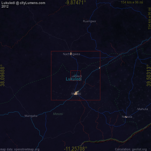
» Earth at Night: Flat Maps 2012, 2016