Liwale night lights from space
Night Light of Liwale (Lindi) from space (Tanzania) Src. Average luminocity for 10x10km area is 0.3182% and for 50x50km: 0.0131%.
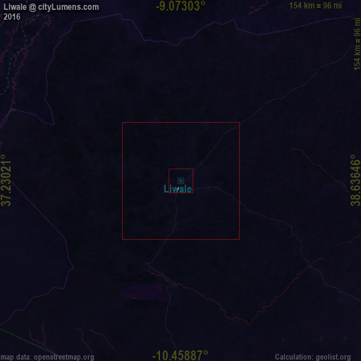
Analysis of Liwale night lights 2016
Square area 10x10 km:
 0%
0%90-99
0%80-89
0%70-79
0%60-69
0%50-59
0%40-49
0%30-39
0.87%20-29
0%10-19
0%0-9
99.13%Square area 50x50 km:
0%90-99
0%80-89
0%70-79
0%60-69
0%50-59
0%40-49
0%30-39
0.03%20-29
0%10-19
0%0-9
99.97%Clear (daylight) street map image can be seen on geolist.org.
Map coordinates:
9° 4' 22.9" South, 37° 13' 48.8" East
9° 46' 0" South, 37° 55' 60" East
10° 27' 31.9" South, 38° 38' 11.3" East
Some cities around Liwale sort by population:
• Masasi
142 km =88.2 mi,  138°
138°
• Lukuledi
130 km =80.8 mi,  133°
133°
• Nangomba
140.4 km =87.2 mi,  153°
153°
• Nachingwea
113 km =70.2 mi, 126°
• Nanganga
149.8 km =93.1 mi,  117°
117°
• Nyangao
160.7 km =99.9 mi,  113°
113°
• Mbekenyera
117.9 km =73.3 mi,  102°
102°
• Ruangwa
114.5 km =71.1 mi, 106°
155921 (p: 19,296)
Sources (retrieved 2019-11-25):
» Earth at Night: Flat Maps 2012, 2016