Inyonga night lights from space
Night Light of Inyonga (Katavi) from space (Tanzania) Src. Average luminocity for 10x10km area is 0% and for 50x50km: 0%.
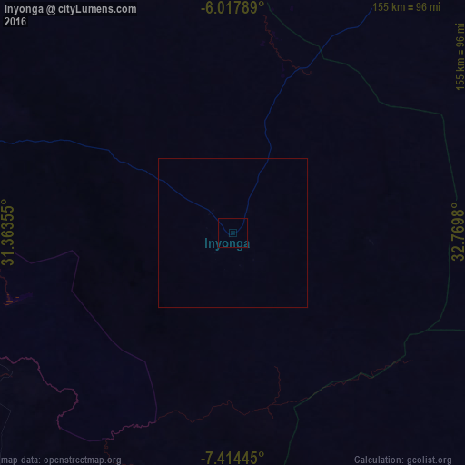
Analysis of Inyonga night lights 2016
Square area 10x10 km:
100  0%
0%
90-99 0%
80-89 0%
70-79 0%
60-69 0%
50-59 0%
40-49 0%
30-39 0%
20-29 0%
10-19 0%
0-9 100%
0%90-99
0%80-89
0%70-79
0%60-69
0%50-59
0%40-49
0%30-39
0%20-29
0%10-19
0%0-9
100%Square area 50x50 km:
100 0%
90-99 0%
80-89 0%
70-79 0%
60-69 0%
50-59 0%
40-49 0%
30-39 0%
20-29 0%
10-19 0%
0-9 100%
0%90-99
0%80-89
0%70-79
0%60-69
0%50-59
0%40-49
0%30-39
0%20-29
0%10-19
0%0-9
100%Clear (daylight) street map image can be seen on geolist.org.
Map coordinates:
6° 1' 4.4" South, 31° 21' 48.8" East
6° 43' 0" South, 32° 4' 0" East
7° 24' 52" South, 32° 46' 11.3" East
Some cities around Inyonga sort by population:
• Sumbawanga
147.6 km =91.7 mi,  199°
199°
• Mpanda
117.7 km =73.1 mi,  290°
290°
• Kirando
179.6 km =111.6 mi,  244°
244°
• Namanyere
143.2 km =89 mi,  231°
231°
• Sikonge
143.2 km =89 mi,  32°
32°
• Chala
130.7 km =81.2 mi,  222°
222°
• Usevia
101.4 km =63 mi,  245°
245°
• Usoke
175.2 km =108.9 mi,  10°
10°
159134 (p: 11,790)
Sources (retrieved 2019-11-25):
» Earth at Night: Flat Maps 2012, 2016