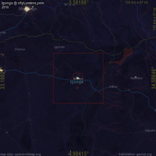
Igunga night lights from space
Night Light of Igunga (Tabora) from space (Tanzania) Src. Average luminocity for 10x10km area is 4.3701% and for 50x50km: 0.172%.
Analysis of Igunga night lights 2016
Square area 10x10 km:
100  0%
0%
90-99 0.22%
80-89 1.3%
70-79 0.22%
60-69 1.73%
50-59 0.87%
40-49 0.87%
30-39 0.65%
20-29 0.22%
10-19 0.87%
0-9 93.07%
0%90-99
0.22%80-89
1.3%70-79
0.22%60-69
1.73%50-59
0.87%40-49
0.87%30-39
0.65%20-29
0.22%10-19
0.87%0-9
93.07%Square area 50x50 km:
100 0%
90-99 0.01%
80-89 0.05%
70-79 0.01%
60-69 0.07%
50-59 0.03%
40-49 0.03%
30-39 0.03%
20-29 0.01%
10-19 0.03%
0-9 99.73%
0%90-99
0.01%80-89
0.05%70-79
0.01%60-69
0.07%50-59
0.03%40-49
0.03%30-39
0.03%20-29
0.01%10-19
0.03%0-9
99.73%Clear (daylight) street map image can be seen on geolist.org.
Map coordinates:
3° 34' 54.7" South, 33° 10' 48.8" East
4° 16' 60" South, 33° 52' 60" East
4° 59' 2.9" South, 34° 35' 11.3" East
Some cities around Igunga sort by population:
• Shinyanga
85.9 km =53.4 mi,  323°
323°
• Nzega
78 km =48.5 mi,  275°
275°
• Shelui
36.3 km =22.6 mi,  104°
104°
• Kiomboi
53.6 km =33.3 mi,  88°
88°
• Mwadui
87.4 km =54.3 mi,  338°
338°
• Kishapu
74.1 km =46 mi,  358°
358°
• Ndago
62.6 km =38.9 mi,  124°
124°
• Igurubi
37.5 km =23.3 mi,  327°
327°
159386 (p: 35,644)
Sources (retrieved 2019-11-25):
» Earth at Night: Flat Maps 2012, 2016