Tumbi night lights from space
Night Light of Tumbi (Tabora) from space (Tanzania) Src. Average luminocity for 10x10km area is 0.7521% and for 50x50km: 1.2854%.

Analysis of Tumbi night lights 2016
Square area 10x10 km:
100  0%
0%
90-99 0%
80-89 0%
70-79 0%
60-69 0%
50-59 0%
40-49 0%
30-39 0%
20-29 0%
10-19 0.83%
0-9 99.17%
0%90-99
0%80-89
0%70-79
0%60-69
0%50-59
0%40-49
0%30-39
0%20-29
0%10-19
0.83%0-9
99.17%Square area 50x50 km:
100 0.09%
90-99 0.18%
80-89 0.24%
70-79 0.21%
60-69 0.09%
50-59 0.16%
40-49 0.12%
30-39 0.15%
20-29 0.25%
10-19 0.92%
0-9 97.59%
0.09%90-99
0.18%80-89
0.24%70-79
0.21%60-69
0.09%50-59
0.16%40-49
0.12%30-39
0.15%20-29
0.25%10-19
0.92%0-9
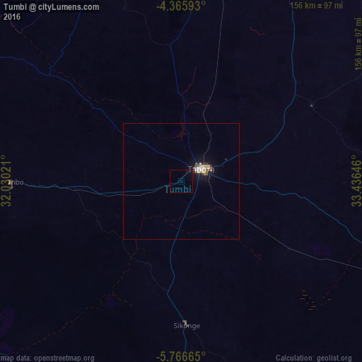
97.59%Clear (daylight) street map image can be seen on geolist.org.
Map coordinates:
4° 21' 57.3" South, 32° 1' 48.8" East
5° 4' 0" South, 32° 43' 60" East
5° 45' 59.9" South, 33° 26' 11.3" East
Some cities around Tumbi sort by population:
• Tabora
11.8 km =7.3 mi,  61°
61°
• Sikonge
63.1 km =39.2 mi,  176°
176°
• Nzega
106.9 km =66.4 mi,  27°
27°
• Urambo
75.7 km =47 mi,  270°
270°
• Mabama
23.4 km =14.5 mi,  251°
251°
• Kaliua
104.1 km =64.7 mi, 270°
• Bukene
94.1 km =58.5 mi,  10°
10°
• Usoke
43.9 km =27.3 mi,  255°
255°
149418 (p: 32,900)
Sources (retrieved 2019-11-25):
» Earth at Night: Flat Maps 2012, 2016