Tatvan night lights from space
Night Light of Tatvan (Bitlis) from space (Turkey) Src. Average luminocity for 10x10km area is 26.7045% and for 50x50km: 4.5389%.
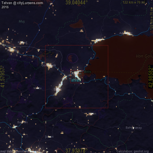
Analysis of Tatvan night lights 2016
Square area 10x10 km:
 3.25%
3.25%90-99
9.09%80-89
1.95%70-79
3.9%60-69
0.49%50-59
2.11%40-49
1.79%30-39
2.76%20-29
0.97%10-19
33.28%0-9
40.42%Square area 50x50 km:
0.36%90-99
1.09%80-89
0.49%70-79
0.57%60-69
0.15%50-59
0.3%40-49
0.66%30-39
0.59%20-29
0.52%10-19
4.64%0-9
90.61%Clear (daylight) street map image can be seen on geolist.org.
Map coordinates:
39° 2' 25.6" North, 41° 34' 46.5" East
38° 29' 32" North, 42° 16' 57.7" East
37° 56' 23.2" North, 42° 59' 9" East
Some cities around Tatvan sort by population:
• Ahlat
33.3 km =20.7 mi,  30°
30°
• Adilcevaz
51.8 km =32.2 mi,  48°
48°
• Bitlis
18.3 km =11.4 mi,  236°
236°
• Güroymak
25 km =15.5 mi,  291°
291°
• Hizan
32 km =19.9 mi,  158°
158°
• Korkut
51 km =31.7 mi,  301°
301°
• Şirvan
52.8 km =32.8 mi,  205°
205°
• Mutki
33 km =20.5 mi,  253°
253°
299582 (p: 73,222)
Sources (retrieved 2019-11-25):
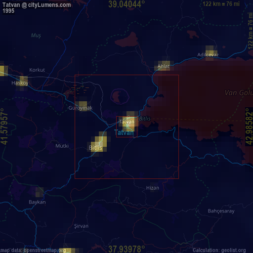
» NASA, Earths city lights 1995
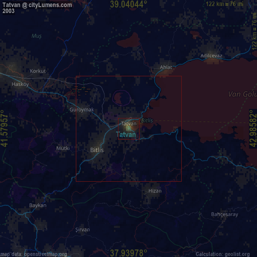
» NASA city lights 2003
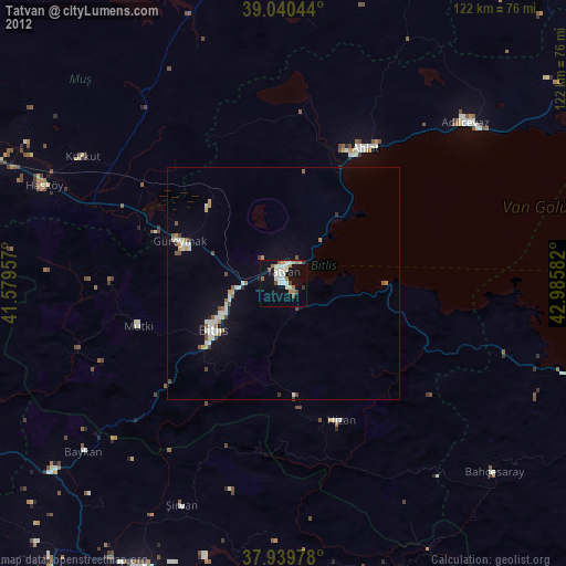
» Earth at Night: Flat Maps 2012, 2016