Ahlat night lights from space
Night Light of Ahlat (Bitlis) from space (Turkey) Src. Average luminocity for 10x10km area is 20.4184% and for 50x50km: 2.0576%.
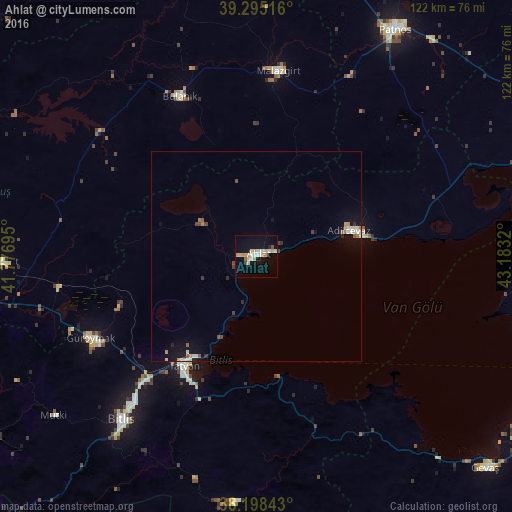
Analysis of Ahlat night lights 2016
Square area 10x10 km:
 2.04%
2.04%90-99
4.76%80-89
3.74%70-79
5.1%60-69
0%50-59
1.19%40-49
1.02%30-39
0.51%20-29
0.68%10-19
14.12%0-9
66.84%Square area 50x50 km:
0.15%90-99
0.41%80-89
0.28%70-79
0.29%60-69
0.12%50-59
0.25%40-49
0.26%30-39
0.18%20-29
0.21%10-19
1.4%0-9
96.46%Clear (daylight) street map image can be seen on geolist.org.
Map coordinates:
39° 17' 42.6" North, 41° 46' 37" East
38° 44' 56" North, 42° 28' 48.3" East
38° 11' 54.3" North, 43° 10' 59.5" East
Some cities around Ahlat sort by population:
• Tatvan
33.3 km =20.7 mi,  210°
210°
• Adilcevaz
22.5 km =14 mi,  75°
75°
• Bitlis
50.4 km =31.3 mi,  219°
219°
• Bulanık
41.7 km =25.9 mi,  334°
334°
• Malazgirt
44.5 km =27.7 mi,  6°
6°
• Güroymak
44.7 km =27.8 mi,  244°
244°
• Hizan
58.5 km =36.4 mi,  185°
185°
• Korkut
60.4 km =37.5 mi,  268°
268°
325103 (p: 64,695)
Sources (retrieved 2019-11-25):
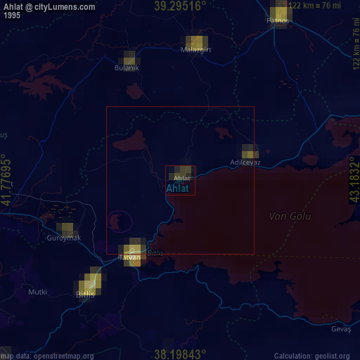
» NASA, Earths city lights 1995
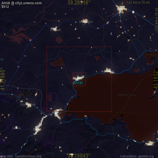
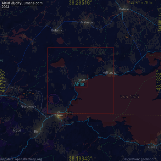
» NASA city lights 2003
» Earth at Night: Flat Maps 2012, 2016