Uğurludağ night lights from space
Night Light of Uğurludağ (Çorum) from space (Turkey) Src. Average luminocity for 10x10km area is 3.5034% and for 50x50km: 0.8338%.
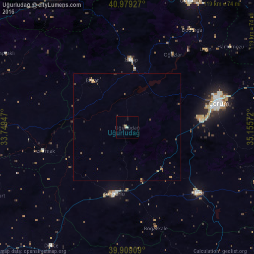
Analysis of Uğurludağ night lights 2016
Square area 10x10 km:
 0%
0%90-99
1.02%80-89
1.02%70-79
0%60-69
0.68%50-59
0%40-49
0.68%30-39
0%20-29
1.7%10-19
0.34%0-9
94.56%Square area 50x50 km:
0.01%90-99
0.05%80-89
0.07%70-79
0.13%60-69
0.16%50-59
0.19%40-49
0.14%30-39
0.36%20-29
0.24%10-19
0.17%0-9
98.47%Clear (daylight) street map image can be seen on geolist.org.
Map coordinates:
40° 58' 45.4" North, 33° 44' 58.1" East
40° 26' 46.7" North, 34° 27' 9.3" East
39° 54' 32.7" North, 35° 9' 20.6" East
Some cities around Uğurludağ sort by population:
• Çorum
43.8 km =27.2 mi,  74°
74°
• Sungurlu
31.7 km =19.7 mi,  192°
192°
• Osmancık
66.2 km =41.1 mi,  26°
26°
• Alaca
45.3 km =28.1 mi,  133°
133°
• İskilip
32.2 km =20 mi,  3°
3°
• Delice
65.7 km =40.8 mi,  213°
213°
• Sulakyurt
70.2 km =43.6 mi,  242°
242°
• Yapraklı
66.6 km =41.4 mi,  301°
301°
738468 (p: 7,399)
Sources (retrieved 2019-11-25):
» Earth at Night: Flat Maps 2012, 2016