Polatlı night lights from space
Night Light of Polatlı (Ankara) from space (Turkey) Src. Average luminocity for 10x10km area is 43.7013% and for 50x50km: 5.1799%.
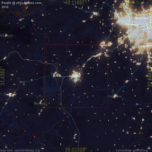
Analysis of Polatlı night lights 2016
Square area 10x10 km:
 6.33%
6.33%90-99
12.18%80-89
5.52%70-79
3.08%60-69
8.12%50-59
3.08%40-49
2.27%30-39
7.47%20-29
13.31%10-19
33.77%0-9
4.87%Square area 50x50 km:
0.28%90-99
0.96%80-89
0.56%70-79
0.62%60-69
0.84%50-59
0.36%40-49
0.68%30-39
1.15%20-29
1.49%10-19
4.06%0-9
88.99%Clear (daylight) street map image can be seen on geolist.org.
Map coordinates:
40° 7' 1.1" North, 31° 26' 17.5" East
39° 34' 37.7" North, 32° 8' 28.8" East
39° 1' 59.1" North, 32° 50' 40" East
Some cities around Polatlı sort by population:
• Ankara
71.9 km =44.7 mi,  57°
57°
• Batikent
66.6 km =41.4 mi,  49°
49°
• Beypazarı
68.3 km =42.4 mi,  344°
344°
• Altpınar
66.6 km =41.4 mi,  128°
128°
• Haymana
34.5 km =21.4 mi,  117°
117°
• Sivrihisar
54 km =33.6 mi,  254°
254°
• Ayaş
51.8 km =32.2 mi,  18°
18°
• Güdül
71 km =44.1 mi,  7°
7°
302525 (p: 93,262)
Sources (retrieved 2019-11-25):
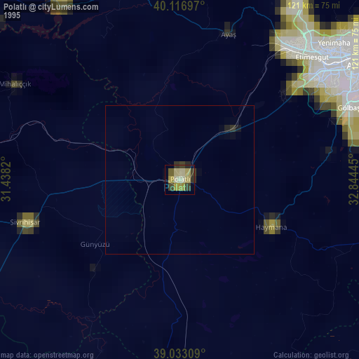
» NASA, Earths city lights 1995
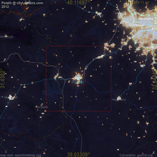
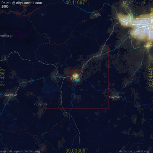
» NASA city lights 2003
» Earth at Night: Flat Maps 2012, 2016