Ankara night lights from space
Night Light of Ankara from space (Turkey) Src. Average luminocity for 10x10km area is 98.8163% and for 50x50km: 51.0923%.
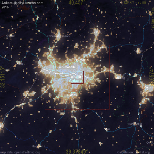
Analysis of Ankara night lights 2016
Square area 10x10 km:
 77.04%
90-99
18.2%80-89
3.23%70-79
1.53%60-69
0%50-59
0%40-49
0%30-39
0%20-29
0%10-19
0%0-9
0%Square area 50x50 km:
13.28%90-99
12.28%80-89
8.07%70-79
6.03%60-69
6.34%50-59
4.61%40-49
4.83%30-39
5.35%20-29
8.44%10-19
11.07%0-9
19.68%Clear (daylight) street map image can be seen on geolist.org.
Map coordinates:
40° 27' 25.2" North, 32° 9' 4.1" East
39° 55' 11.5" North, 32° 51' 15.4" East
39° 22' 42.6" North, 33° 33' 26.6" East
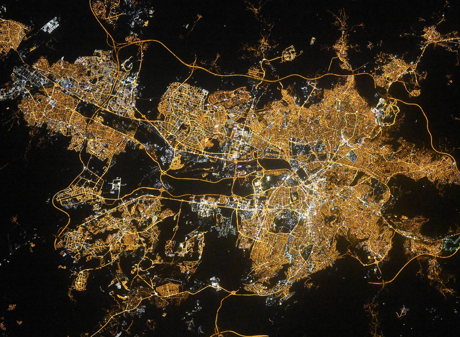
Fantastic image of Ankara from space taken by astronauts [src2], but I don't have information about it's orientation, scale or angle. If necessary, it was rotated manually, so North points approximately to upper direction. Click to zoom in:
Some cities around Ankara sort by population:
• Çankaya
0.7 km =0.4 mi,  106°
106°
• Batikent
11.8 km =7.3 mi,  297°
297°
• Çubuk
38.5 km =23.9 mi,  23°
23°
• ElmadaÄź
32.1 km =19.9 mi,  89°
89°
• Kazan
37.6 km =23.4 mi,  337°
337°
• Kalecik
51.1 km =31.8 mi,  67°
67°
• Akyurt
31 km =19.3 mi,  39°
39°
• AyaĹź
45.8 km =28.5 mi,  283°
283°
323786 (p: 3,517,182)
Sources (retrieved 2019-11-25):
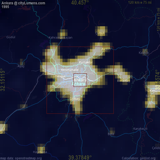
» NASA, Earths city lights 1995
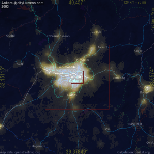
» NASA city lights 2003
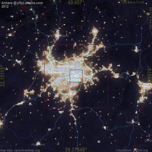
» Earth at Night: Flat Maps 2012, 2016
Src.2: picture by Oleg Kononenko, Roscosmos, retrieved 2019-11-29