Patnos night lights from space
Night Light of Patnos (Ağrı) from space (Turkey) Src. Average luminocity for 10x10km area is 33.2007% and for 50x50km: 2.1969%.
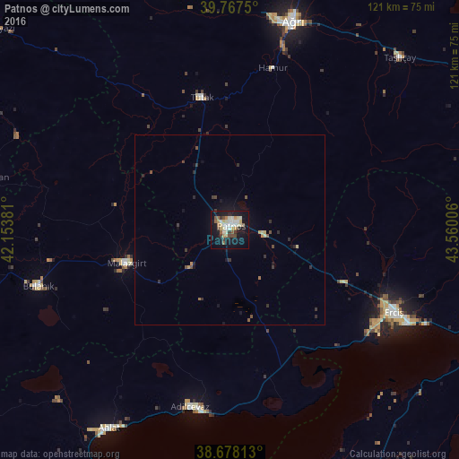
Analysis of Patnos night lights 2016
Square area 10x10 km:
 3.91%
3.91%90-99
9.01%80-89
4.93%70-79
3.74%60-69
1.7%50-59
4.42%40-49
4.25%30-39
3.74%20-29
1.53%10-19
36.73%0-9
26.02%Square area 50x50 km:
0.15%90-99
0.37%80-89
0.28%70-79
0.24%60-69
0.13%50-59
0.29%40-49
0.37%30-39
0.4%20-29
0.4%10-19
2.09%0-9
95.27%Clear (daylight) street map image can be seen on geolist.org.
Map coordinates:
39° 46' 3" North, 42° 9' 13.7" East
39° 13' 29.7" North, 42° 51' 24.9" East
38° 40' 41.3" North, 43° 33' 36.2" East
Some cities around Patnos sort by population:
• Ağrı
57.5 km =35.7 mi,  16°
16°
• Erciş
48.7 km =30.3 mi,  117°
117°
• Ahlat
62.1 km =38.6 mi,  211°
211°
• Adilcevaz
48.6 km =30.2 mi,  192°
192°
• Bulanık
52.8 km =32.8 mi,  253°
253°
• Malazgirt
29.1 km =18.1 mi, 252°
• Eleşkirt
65.6 km =40.8 mi,  346°
346°
• Taşlıçay
62.9 km =39.1 mi,  44°
44°
302819 (p: 87,451)
Sources (retrieved 2019-11-25):
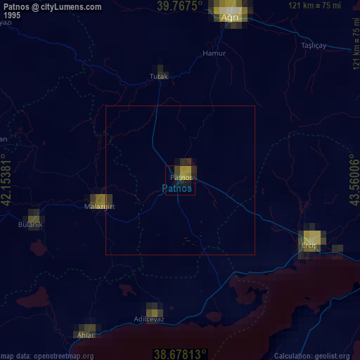
» NASA, Earths city lights 1995
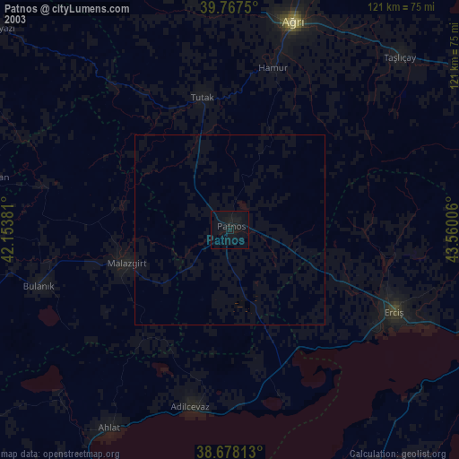
» NASA city lights 2003
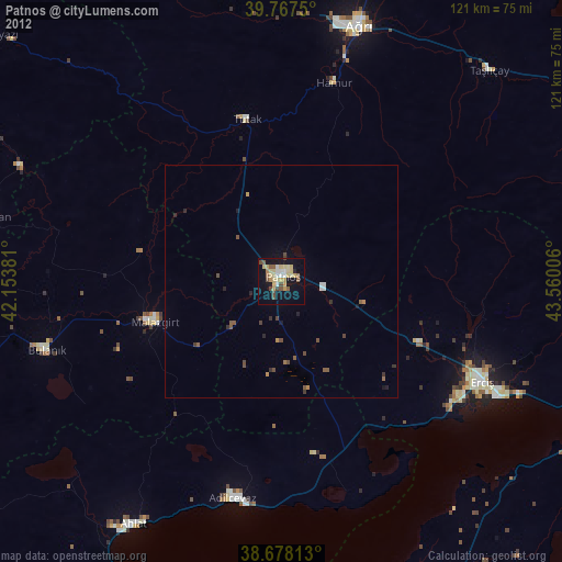
» Earth at Night: Flat Maps 2012, 2016