Ağrı night lights from space
Night Light of Ağrı from space (Turkey) Src. Average luminocity for 10x10km area is 36.7922% and for 50x50km: 2.4529%.
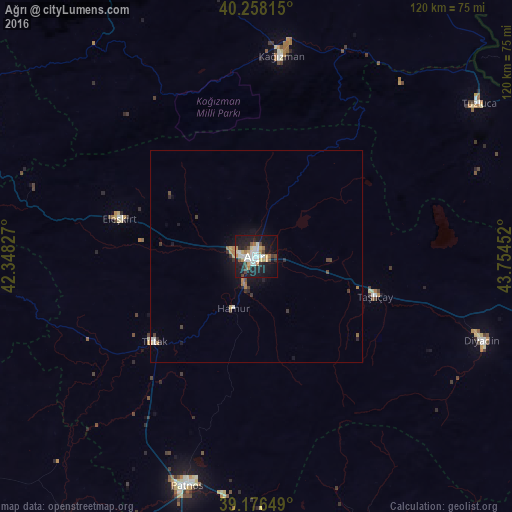
Analysis of Ağrı night lights 2016
Square area 10x10 km:
 8.6%
8.6%90-99
6.33%80-89
5.36%70-79
3.41%60-69
4.22%50-59
1.79%40-49
3.73%30-39
2.6%20-29
8.44%10-19
40.91%0-9
14.61%Square area 50x50 km:
0.42%90-99
0.3%80-89
0.29%70-79
0.23%60-69
0.38%50-59
0.09%40-49
0.37%30-39
0.3%20-29
0.58%10-19
2.39%0-9
94.64%Clear (daylight) street map image can be seen on geolist.org.
Map coordinates:
40° 15' 29.3" North, 42° 20' 53.8" East
39° 43' 10" North, 43° 3' 5" East
39° 10' 35.4" North, 43° 45' 16.3" East
Some cities around Ağrı sort by population:
• Patnos
57.5 km =35.7 mi,  196°
196°
• Malazgirt
77.6 km =48.2 mi,  214°
214°
• Kağızman
49.1 km =30.5 mi,  8°
8°
• Eleşkirt
33.3 km =20.7 mi,  285°
285°
• Diyadin
56.7 km =35.2 mi,  110°
110°
• Karayazı
77.8 km =48.3 mi,  268°
268°
• Taşlıçay
28.9 km =18 mi, 110°
• Karakoyunlu
52.2 km =32.4 mi,  71°
71°
309647 (p: 92,022)
Sources (retrieved 2019-11-25):
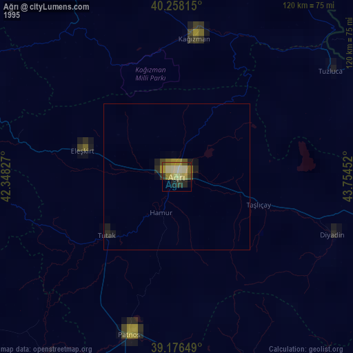
» NASA, Earths city lights 1995
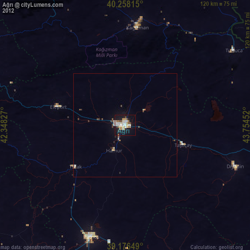
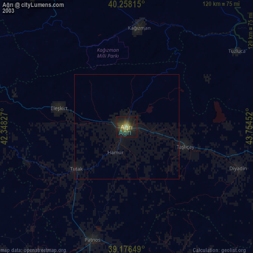
» NASA city lights 2003
» Earth at Night: Flat Maps 2012, 2016