Kazan night lights from space
Night Light of Kazan (Ankara) from space (Turkey) Src. Average luminocity for 10x10km area is 33.375% and for 50x50km: 16.0067%.
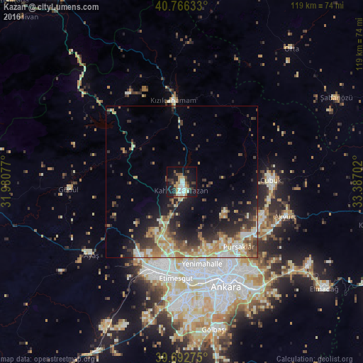
Analysis of Kazan night lights 2016
Square area 10x10 km:
 4.71%
4.71%90-99
6.82%80-89
2.76%70-79
4.87%60-69
3.9%50-59
5.03%40-49
2.44%30-39
6.17%20-29
6.98%10-19
33.44%0-9
22.89%Square area 50x50 km:
1.43%90-99
2.98%80-89
2.41%70-79
2.07%60-69
2.76%50-59
2.37%40-49
2.4%30-39
2.95%20-29
4.24%10-19
7.99%0-9
68.39%Clear (daylight) street map image can be seen on geolist.org.
Map coordinates:
40° 45' 58.8" North, 31° 58' 50.8" East
40° 13' 54" North, 32° 41' 2" East
39° 41' 33.9" North, 33° 23' 13.3" East
Some cities around Kazan sort by population:
• Ankara
37.6 km =23.4 mi,  157°
157°
• Çankaya
38.1 km =23.7 mi, 156°
• Batikent
29.6 km =18.4 mi,  172°
172°
• Çubuk
29.6 km =18.4 mi,  88°
88°
• Kızılcahamam
26.6 km =16.5 mi,  353°
353°
• Çamlıdere
33.7 km =20.9 mi,  328°
328°
• Akyurt
35.8 km =22.2 mi,  107°
107°
• Güdül
37.3 km =23.2 mi,  266°
266°
743615 (p: 23,889)
Sources (retrieved 2019-11-25):
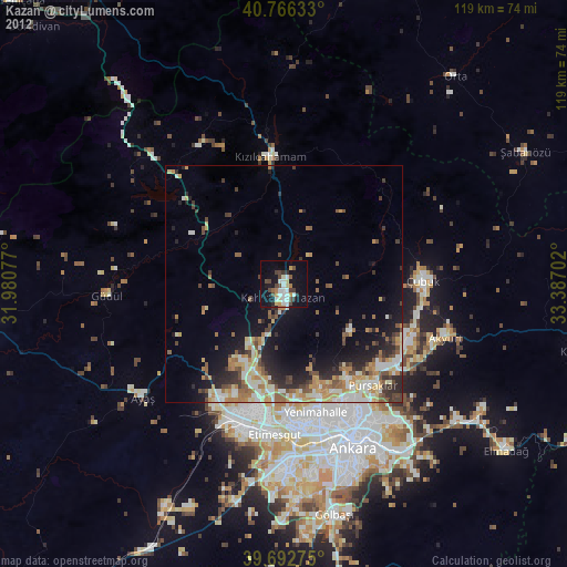
» Earth at Night: Flat Maps 2012, 2016